Garmin Activity:https://connect.garmin.com/modern/activity/591101640
144km, 6h03, elevation 1564m
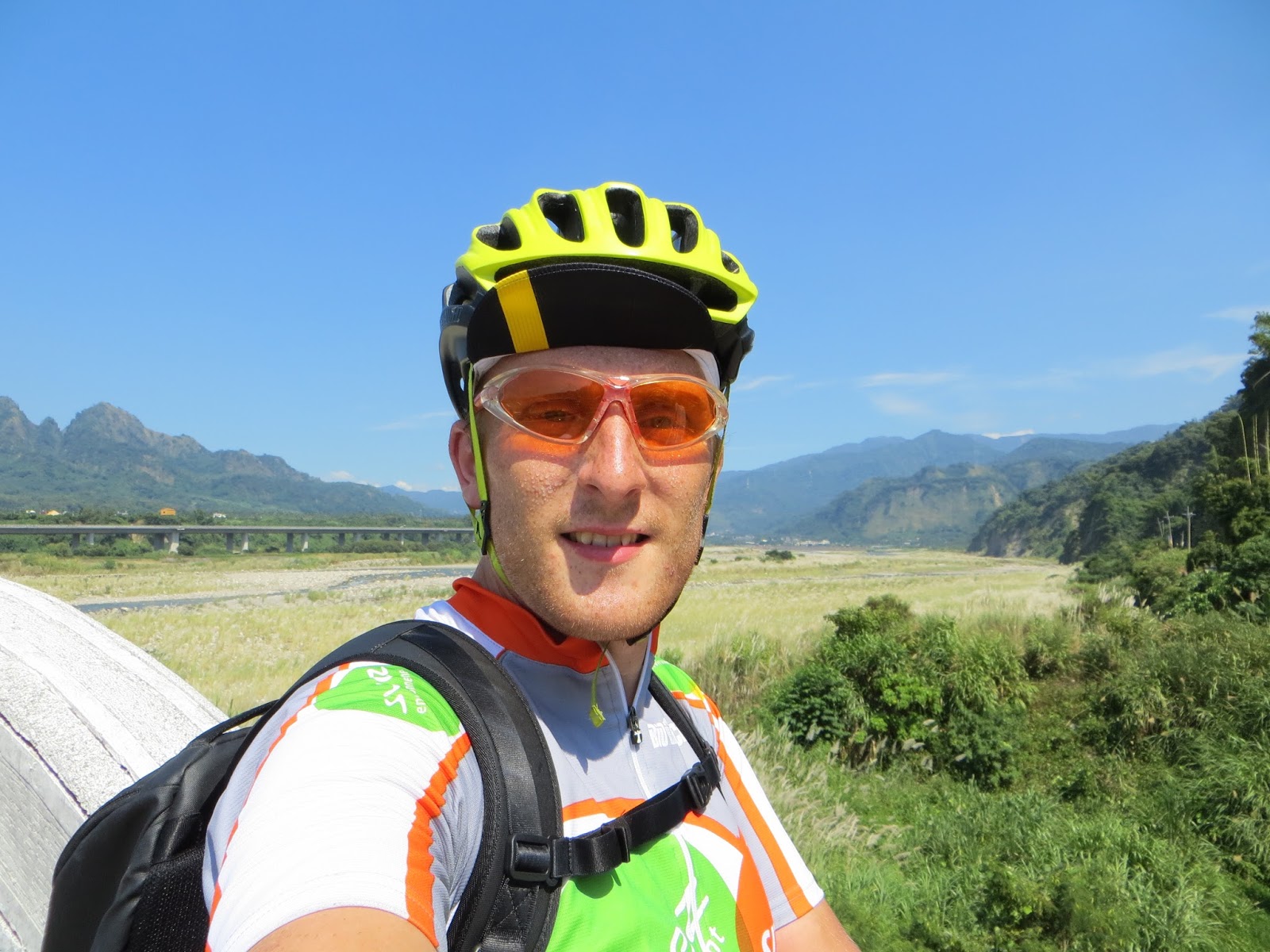
Let me start today's narration with the below picture. Outside temperature 42° C. Yes that's right: forty-two degrees Celcius. Sizzling hot, even to a burning extent, and this had all the consequences for today's trip. I must honestly add that I only noticed it was this hot when I was already outside.

42° C will make things a lot tougher, but burning calories will go a lot more smoothly.
Studying the 88 NT map of central Taiwan a few days earlier, there was one number that caught my eye's attention: 136. I had heard people talk about Route 136 and I wanted to ride it myself. Was it really that tough? I studied the map and saw I could just go to Fengyuan, then to Xinshe, follow Route 129 all the way to where it meets Route 136, and there I went.
From Shalu I went to Fengyuan and then from Shigang I climbed up to Xinshe. The first few kilometers of Route 129 had a nice climb in there. Soon I made it to the Xinshe city center; where I celebrated completing the first 35km of the ride by getting some water. Following Route 129 south for a lot of miles, after passing Tanzi; eventually leads to Taiping area in Taichung city.

Taiping area in Taichung city

This first section was a nice warm up, now let's go for Route 136

Very soon I saw the intersection with 136, I saw the signs indicate Guoxing in Nantou. I knew from my map that this was my aspired location. I first cycled past a Buddhist temple, with some impressive statues in bladed gold. Actually I wanted to go to Puli today, but I didn't make it because I was dead beat after 136.


They were working on this "Bat Cave" attraction. I never went in but I did witnessed that the work was done.

I put on some sun creme because it was smoking hot

The above picture is where I had my first break. Just after a few km of cycling I already thought this was tough, mainly because of the heat. The road had a few parts with a good 12% in it, and at the time, I was not used to those gradients.

I can only say it was hot, I took several rests and I almost lost consciousness at the top.

Ok, let's keep going! The next part would be a 5-6km long climb with good gradients, going as steep as 13%. On that particular day, with my weight, with the heath, with my 30T cog, I was having a hard time.

Beautiful sight

It was as if it was raining, that's the frequency with which the sweat poured down from my body. My entire jersey was soaking wet and I felt listless, no energy, just completely drained like a box of milk when there are five kittens around.

I think I took a 45min rest here, the combo of heat, weight and not yet adapted physical condition knocked me down on this right. I did do some great sports and I realized I still had a very long way to go. Another setback: at this point I didn't have anything left to drink, really needed to go and find salvation fast.

Chikanding, the end of my struggle ophill! I took a nice break here and then I continued my journey. There was still like a one kilometer climb and then it went down all the way until Guoxing, some 13km later. Now that descent felt great!

What lies ahead of me at Chikanding

Route 136, going east

Let the vortex slide downhill begin, next stop: Guoxing area; Nantou county


A bridge just before connecting to Hwy 14, a beautiful yet hot day.


Up ahead: Guoxing
Luckily there was a Hi-Life located just at the end of Route 136. I stopped there to revive myself and then I decided not to head to Puli anymore, as I was already crushed. I studied my map, went left in the direction of Caotun; That's where I recognized the Family Mart where we rode by in November 2012. I stopped for a snack there and then I told my GPS to navigate back to Shalu. What came next was a mix of small roads, even going over Changhua county, back to Shalu.


These pictures are taken behind Hwy 14, in a maze of small roads which eventually connected to a village called Pinglin; I went through a few tunnels and eventually crossed Pinglin bridge, connecting with Hwy 14 again; Going left; there was a small hill and right after that hill there was a small road connecting to Changhua county. I later did that same road with Nathan Miller.


Stupid me..., that bridge was too slippery for my bike shoes and I fell with my bike; causing a minor scratch on the frame. Damned! (Good thing is that months later I would get a brand new frame for free from Specialized, but at the time I was angry)

Some tunnels connecting to Pinglin village


Being here, doing this mini detour completed the feeling of today's trip, providing me with that exploring adventuring edge. Impossible without my Edge 1000 GPS.

Pinglin bridge, I crossed it and then connected to Hwy 14 again; going West

Beautiful landscapes in a shocking 42 degrees setting
Today I was sweating like a pig, but I was excused for that.

Solitude and tranquility.

Regulations for correct usage of the infrastructure. Relax guys I'm only passing by

What a swell detour, 1000x better than ye' good' ol' Hwy 14

The last section of the ride was basically a guide through Wuri and Taichung city. Made it back home in one peace and had a nice experience.
No comments:
Post a Comment