Garmin Activity: https://connect.garmin.com/modern/activity/736737811
140km, 6h00, elevation 1870hm
Another beautiful dawn has risen above Taiwan. Today would be dedicated to a location I briefly visited once, last year in October, but I did not get to the bottom of it: Guandaoshan (Mt. Guanshan) in Mioali. Once again, I took Hwy 1 going to Miaoli's western Yuanli. Then I took Route 121 going North (please follow me on my Garmin map)

Good morning to Qingshui, good morning to Haifengli and Good morning to Dajia bridge, which is located at just 240 meters from here

Warm enough
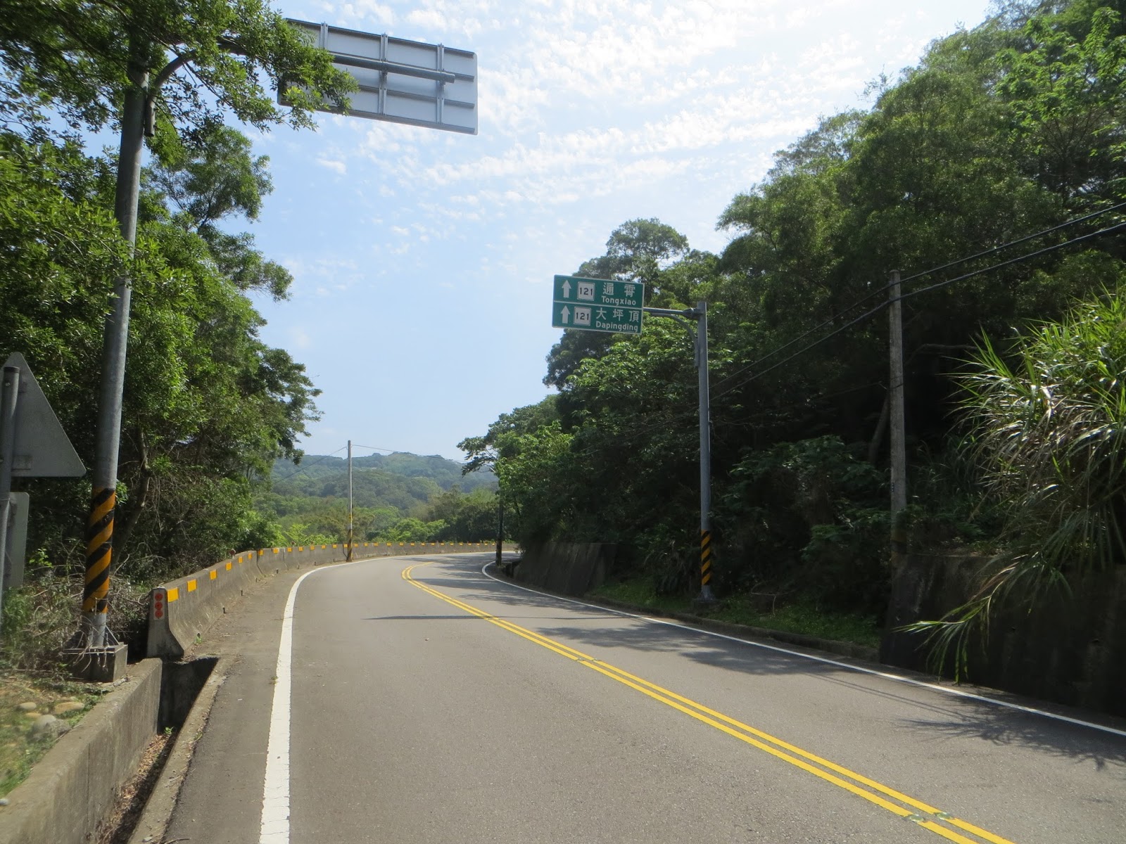
To my surprise, Route 121 did have some gradient in there, nothing lethal but still...

A view over Western Miaoli on a sunny day


When I saw this little sign, I was tempted. This road would lead to Sanyi? Well then; let's go for it!

A small path indeed

That small path later connected to Route 130, the one with the good climb to Sanyi city center. Then I went more east, following 130 until I saw Miaoli-56, the road to Guandao Mountain. I found all of these road numbers on a Miaoli map I had bought before. Doing some good research at home pays off in the field you know.


Miaoli-56, the climb for Guandaoshan. I had been here in October with my Shalu land lord but due to road works, we could not pass and changed our itinerary. Hence I needed to come back once. Today was that day.

Hot enough for me!


My precious Roubaix! Not long before it will pass the magical 10,000km mark!


The first 2km were nothing but climbing, but did lead the way to this picturesque view

Mamacite, qué hace calor por aqui!

The brown sign indicates "Guandaoshan", my mission for today. More climbing ahead

Only 3km? I feel like I've been climbing for an hour!!

Not long after that, there was an intersection with three different directions. One was my incoming direction obviously, but there were two choices now. Studying the map after coming home, made me realize I took the wrong one (obviously!) and I never made it to the top of Guandaoshan. Will have to dedicate another cycling trip to fulfill that longstanding wish.

Welcome to the National Forest Recreation Area

An indication to the Liyutan Reservoir in Chinese, going left and Sanyi Longteng bridge remains, going right.

I chose the path that went straight ahead, but very soon it all went downhill. Some nice panaroma's I could not refuse.


And then I found myself in a maze of crazy little roads. Great to be here! And with the occasional indications to Dahu, I did not feel lost at all. It was like an adventure out at sea, with a compass

Just look at these roads, aren't they fabulous!

This little sign here indicated Dahu, Xinkai and Zhuolan. I remember Xinkai is located somewhere at the 142.5km mark of Hwy 3. Would that be where this little forest road would lead? I would soon find out...

The road goes on. I think I did about 11km from the top to Hwy 3, and I saw another foreigner cycling here. I think he was African.

This must be the Liyutan Reservoir, being a tad more dry due to the lack of rainfall over the last few months.


I was taking a picture here when all of the sudden a foreign cyclist came from the other way.

A closer view of this Liyutan Reservoir, a giant pond in the south of Miaoli


And after a few miles more I ended up here. Most people will not find this place special, but for me, reaching to Hwy 3 is like a giant connection. Hwy 3 is my training arena and I know every little detail of it. This getting lost was actually a real eye-opener. We could do a team ride here someday.

Somehow I did not follow Miaoli-56 to Guandaoshan, but I took Miaoli-52-3 to Xinkai on Hwy 3.

Following Hwy 3 I made it to Zhuolan. I wanted to add a little more mileage to this trip, so I first went to Neiwan (Miaoli-58) and then I cycled back to Dongshi via Taichung-47. From Zhuolan, instead of going in a straight line to Fengyuan, I took a giant half circle around it back to Dongshi.

And I had every reason for it, the weather was just fantastic! Riding around in a sleeveless jersey like that


I came here once before on CNY day, before having that buffer in Fengyuan.

I took a picture similar to this one, but it's still nice with my beefy rear 28mm tire. Never flatted once!


Passing through some small roads that eventually connect to Route 140


Ahead of me, Route 140, the most flat connection between east and west


This section here made me appreciate my 28mm tire equipped coble eating racing machine called Roubaix.


Where Route 140 and Taichung-47 connect

The Siangbi tribe is located behind those hills and if you go even further, it will connect to Dahu.


When I made it back to Shigang, I took Gonglaoping back to Fengyuan, just to get 200m more of elevation gain.

Shengang in the late afternoon. It was a nice ride.

18km remaining 'till my home in Shalu


I made a small detour over Qingshui

No comments:
Post a Comment