Garmin Activity: https://connect.garmin.com/modern/activity/587239190
165km, 7h50, elevation 2600m
Today I wanted to do the ride I had heard people talking about: Daxueshan (Chinese for: The Great Snow Mountain). This is a mountain in the eastern part of Taichung which soars as high as 2600m. I had listened to the stories of my Fengyuan friends, who once went there (to the 15km mark). Mr. Cai had participated in the Daxueshan bicycle race a few times, which went to the 43km mark. Wuling was far away for me, but Daxueshan was close enough. That's why I decided to just do it.
I had done some research prior to this ride and I had seen online that the road to Daxueshan is called "Zhongzhuan 1st road". It was a side-road of Hwy 8 in Dongshi. I studied the map and I found the road, I knew where it was. I noticed that actually this Daxueshan route was going in the same direction as Guguan. Then I read some blogs to have an idea of what I would be facing. The feeling of magic and conquest took the upper hand and I was ready to go for Daxueshan.
I got up really early and did the traditional ride to Fengyuan via Hwy 10, then from Fengyuan I went to Dongshi via Hwy 3, just like we did on our Guguan trip. As soon as I entered Hwy 8, I saw the signs in Chinese indicating the Daxueshan recreational area. I knew that I could not go wrong here. When I entered to Zhongzhuan road, there was a 7-11. I had read from the blog that this was the first and last stop I would see for provisions. Therefore I did some shopping, had a breakfast and then I headed out for my first ever long climb: The Big Snow Mountain in Taichung's Dongshi.

The 7-11 in Dongshi, at the Zhongzuan road, this is where the attack on Daxueshan began!

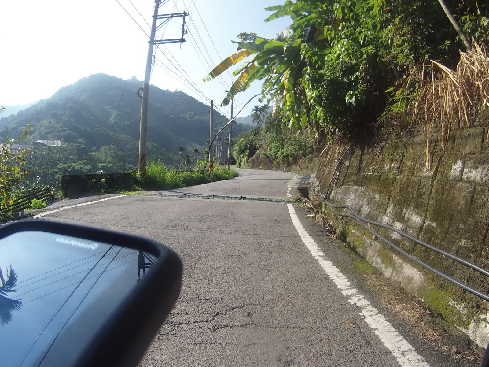
The first mile still had houses and cars

The scene gradually changed into more fields, less houses and cars


A very modest gradient in this section

Steadily becoming more rural


After 5km, there was a sign indicated elevation 450. From the 5km mark, the genuine ascent commenced. The next five km had some good climbing to offer


6.5km mark, the gradient here was around 7% and elevation must have been somewhere around 525m

Not perfect road conditions, but more than acceptable

I could feel I was slowly entering the mountain area and leaving the village of Dongshi
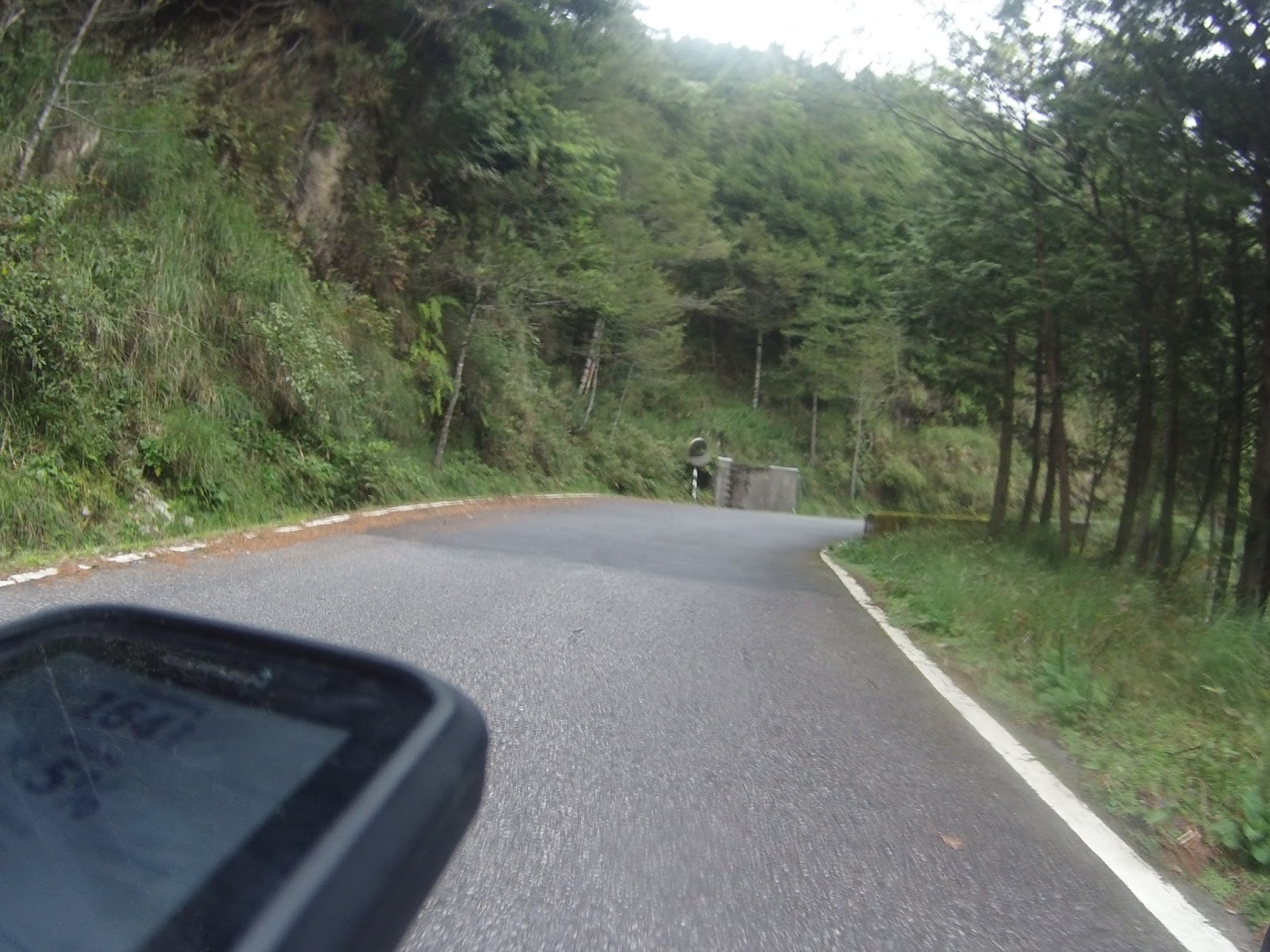
See that water ditch in the middle of the road? Would be something to watch out for when descending!


Only a few houses here, scarcely shattered along this Daxueshan road.

When there were cars, they would sometimes come dangerously close. Taiwanese drivers lack a concept of respecting cyclists


This section was nicely paved. A joy to ride over
Funny how one side of the mountain is covered in sun rays and the other is isolated by trees and therefore colder.


I was circling and ascending, because I had a constant switch of open, illuminated areas and areas with more density of trees and therefor shadow and sometimes wet pavement.


This is the 11km mark, I could see that there was some kind of agriculture on the slopes.

This is where the 11km sign is.

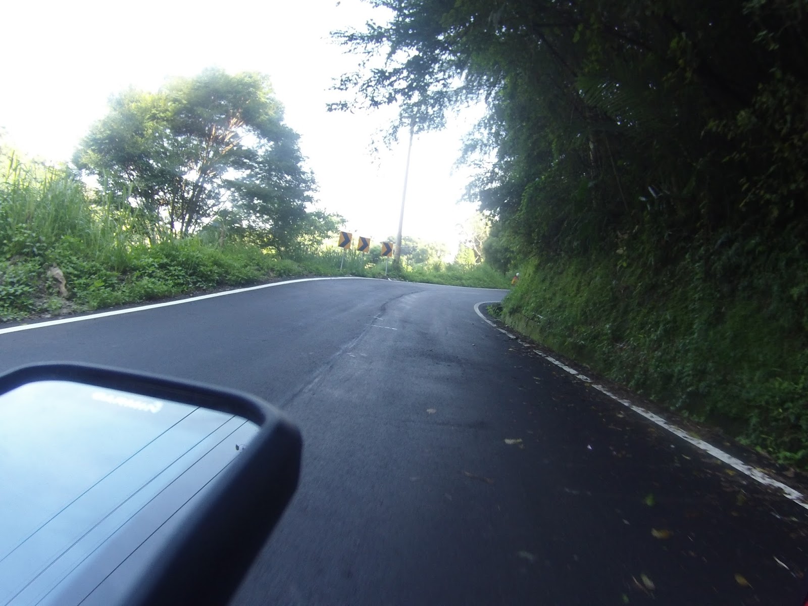
Then the road becomes a bit more level, good for regaining strengths. But it did not last too long, more climbing ahead!


A small village at the 12.5km mark.


This is where Dongshi area became Heping area. Heping is Taichung's largest township and the Daxueshan road is located inside this Heping area. Leaving Dongshi meant going very far away for me.


I was making good progress, slowly engaging the 15km mark. My friends told me that there was a Police Station at 15km, where I could get water for free.


This is it, the 15km police station. It was a completion of the first section of the ride. So far, so good! I stopped to refill my water cages and then I hit the road again, now for the second part. I saw on the signs and I heard from friends that there is a check-point at 35km, which meant 20km is climbing.

Somewhere at 16km

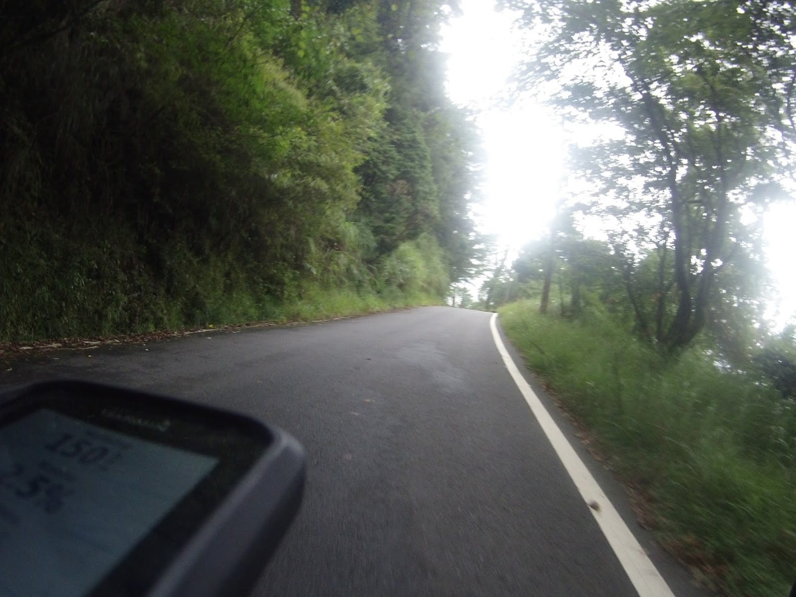
This section was beautiful with these dense forests with tall trees.


The first few miles after the police station where all going uphill good. I could read from my Garmin device that altitude and elevation gain data were increasing constantly. I had never climbed this much in my life!


The beautiful forests of Daxueshan. See that number 175 on my GPS screen? That was my heart rate per minute. This constant gradient of 8-9% with sometimes even steeper gradients was more than I could bear in early September

Another car passing way too close. What is the matter with these people?


After 20km the road was somewhat flatter


My bike cam was firmly attached to my handlebar, but when I looked to the right, I saw amazing panorama's of Central Taiwan's mountain range, just stunning views!


I was counting every single km, 35 was the end goal.


This is the 23km area, there are lots of exotic bird races around here. Sometimes people come with huge cameras to take pictures of them. Devoted ornitology!


At times the road was wet. I would have to be careful on my way down.

A multitude of trees soaring high in the skies


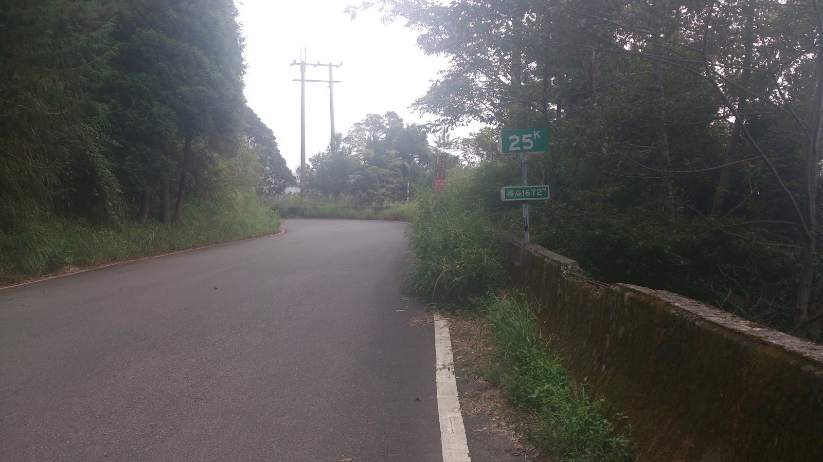
When I saw the 25km sign, I was in need for a rest. Luckily I bought provisions at the 7-11 in Dongshi. I remember buying this orange paper wrapped sandwiches. I bought like four of them. I had one here and drank some water. Obviously I enjoyed the view and took some pictures with my mobile phone. Then I started calculating: 10 more to go to 35km, current altitude 1672m etc. I must have stood here for fifteen minutes before I hit the road again.

The picture below was taken with my mobile phone: 25km, elevation 1672m

A selfie to prove I was actually here haha. I remember that I was already 70% drained when I arrived here. It was my first ever long and constant climb. I had never done Wuling or Xitou or anything like it. But I did feel that I lost weight and gained physical conditions. So it was all worth wile.


All of the sudden there was a tunnel, at the 26.5km mark/ It was really a dark and scary hole and I was happy to have brought my lights. I stopped to put on my front and rear light and then I entered the black hole. Thanks to great timing, my bike cam did manage to take one snapshot inside of the tunnel.


Outside of the tunnel, the road continues to go uphill


At the time, I could not comprehend how a road could just keep on ascending like this. I had never experienced something likely in my life.


Another small tunnel in the far end of this picture. My heart rate got under control again, with an acceptable 138 bpm

After 30km, I noticed the road becoming flatter and it stayed flat for a few km. Another mystery I could not comprehend at the time. But this flatness continues until I reached the 35km checkpoint area.


This section was perfect for regaining strengths. It made me feel secure about my ride and I once again say a speed of 20 and higher.

Again, lovely views to the right

Daxueshan, a mountain hidden in a a coat of green vegetation


The Chinese characters on that white wall are Daxueshan, the name of this mountain. In English that woul dbe Big Snow Mountain


32km mark


Then there was a magnificent blue bridge at 32.5km. I just had to stop for some pictures here, this view was just fabulous!

Woops, accidentally took one of myself. But at least the blue bridge is clear!

Such a beautiful sight! Seeing this after such a long climb really gave me a feeling of accomplishment!

Good job Bartman, awesome exploring! Way to go!

The Central Mountain range of Taiwan, viewed from this clear blue bridge

The other side of the bridge was the side of the mountain

And then I marched on!

My GPS lost its signal various times on this mountain, I can imagine, but that 17% gradient you see on the screen is not true. This section must have been 5-7% max.

All of the sudden I hear a motorcycle passing me by, shouting jiayou. He was encouraging me.


I finally made it to the 35km checkpoint. At you can see, this point's elevation was around 2000. That number just baffled me. For someone growing up in a country on the plains, rising two full kilometers above sea level is something else!

This is the big checkpoint of Daxueshan. I had heard friends from Fengyuan saying you needed to buy a ticket to enter. I first thought that there was only 5km inside, but then I saw the signs on the road saying something about the section 35-50km. I double checked with the clerk and he confirmed me that there was 15km of road inside, but that I would have to buy a ticket. I told him I was a Providence University student so I got a discount: 100 NT for the entrance.

At first I did not want to do this extra 15km, because I was already very tired at the 25km mark. But the last five km were flat and that gave me some time to recover. Also, I was thinking, now I'm here, so I will just go inside and that's that! The clerk did warn me not to linger too long, as it would definitely rain later on. Well then let's hit the road!

There was a parking lot right after the entrance gate.

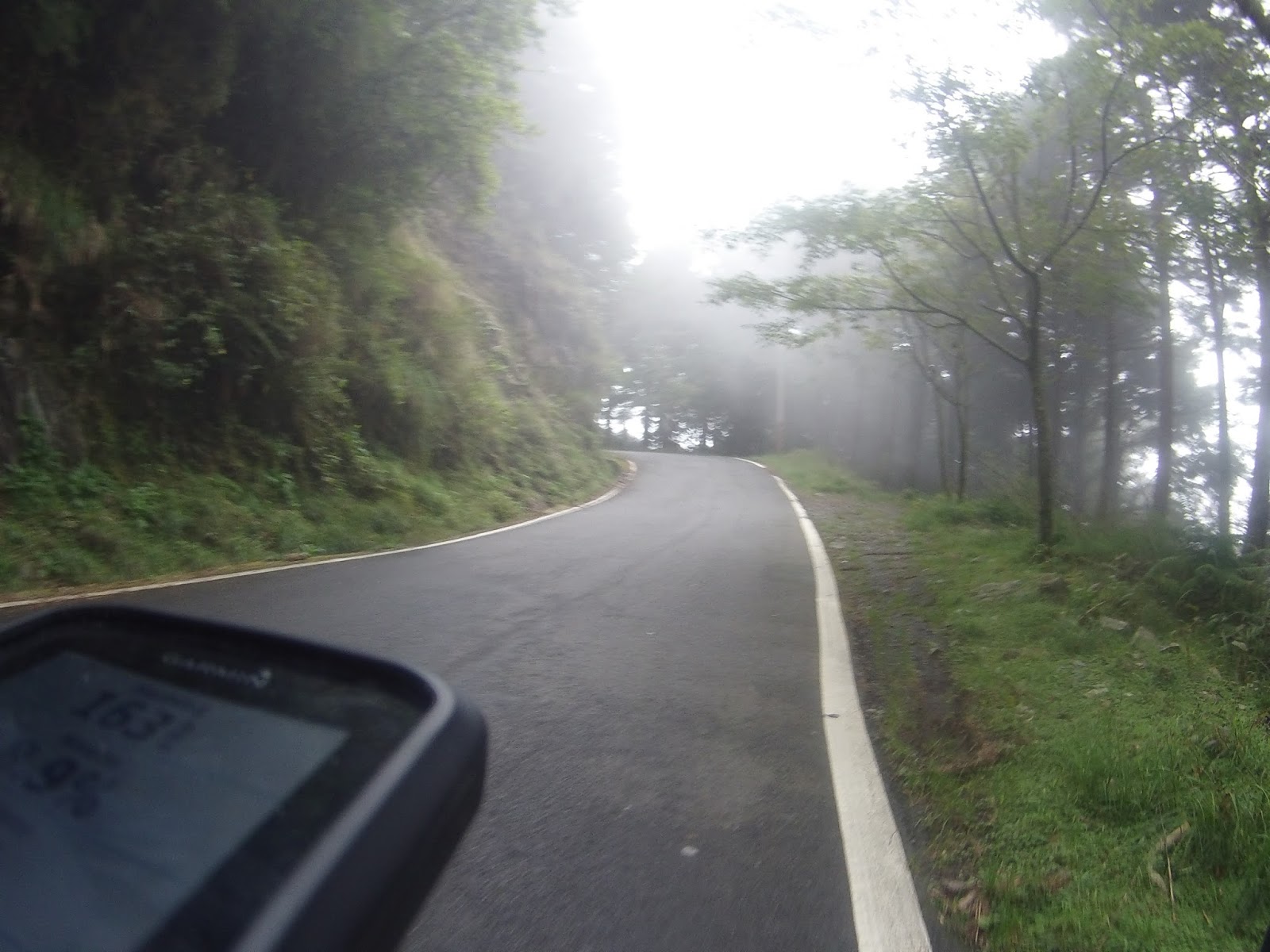
I was still gaining altitude and I noticed that there was a lot of fog.

Fog high up in the mountains


Apart from the mist, temperatures were also dropping big time. I had never experienced this, just happy I was wearing a long-sleeved jersey today.


More trees and forests


See that little waterfall? It was a very beautiful phenomenon. I stopped to check it out. This place is the 41km mark.


More fog and chilliness


At 43km there is another Police Station, called the Xueshan Police Station


Steadily going for the peak of the mountain


Now the fog got even thicker

And it did not help the temperatures


45km, altitude 2401, only five km to go until I make it to the end, which should be around 2500 elevation


The tranquility here was fantastic


So foggy I could not enjoy this view

There was a viewers deck here


This was it, the road did not go any further from here


Welcome to the rooftop of Daxueshan

I took a break there and depleted all my provisions. For the downhill, I decided to wear my wind vest.

During this ride, I did not find the 50km sign, but I did find the 49km sign. Later I learned the 50km mark was so close, but I needed to take another right, which I had not done today.

GPS data, because Garmin lost its signal several times the actual elevation is lower than what I did. It must be somewhere around 2600. Anyway, still great numbers do.
I noticed it started to drizzle a little. Too bad drizzling became raining and it just kept raining all the way down and it made my descent rather nervous. I could only control my speed as much as possible and be careful.

Since it was raining and I had do descent for almost two hours, I hid my Bike Cam in my waterproof backpack. I used my cellphone for some snapshots down the way.

With the soil wet and the occasional water ditches, I had to be careful. I stopped at this point to give my hands some rest. I had been braking constantly for 90 minutes.

It rained until I hit the plains of Dongshi. There I felt the air was warmer and the grounds were dry. It was really strange how abruptly the whole climate changed. I went to Fengyuan for some tea and told me friends about my ride. They praised me saying: Wow, your first trip there and all the way up to 50km! Good job! It was a nice ride indeed. One of the rides to cherish.
No comments:
Post a Comment