Garmin Activity: https://connect.garmin.com/modern/activity/906693141
215km, 8h47, elevation 1575
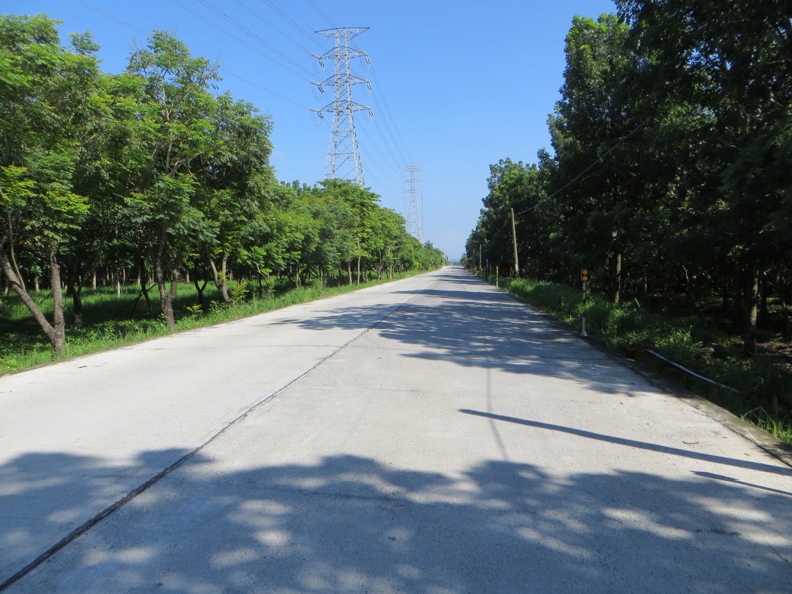
A good night rest put an end to a day full of setbacks. When I woke up, it was time to go. I double checked my tire, because at first I was worried it would flat again, but in the end it was good to go. I went to that 7-11 for a breakfast and then I could commence the last remainder of my trip around the island: going north along the west coast.

Here is a sign that will put things in perspective: 460km until the start of Hwy 1, which is is Taipei city. It was somewhere around 185 in Taichung, so that means more than 260km from this spot to Taichung. I was playing with the idea of doing it in one day when I took this picture.

What a coincidence, I saw the people that helped me out yesterday. They had some tires delivered and they were kind enough to even change the tire for me. Not that I could not do it myself, but it was a nice gesture. They were a father and son doing the trip as well. They would go to to east coast today, spending the night in Taitung.

There I went, along Hwy 1. In July I had come from the opposite direction. Fangliao and Pingtung were already indicated on these signs.

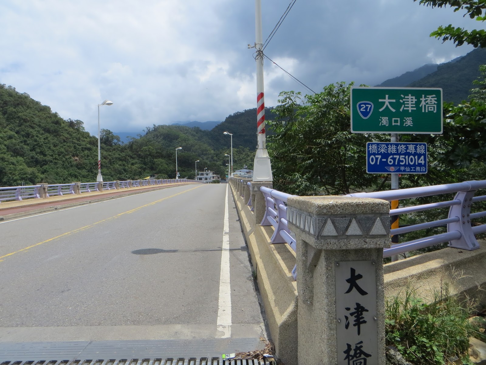
This is the bridge that connects to Hwy 9

I had planned to cycle here yesterday, but that became a different story

I felt there was a headwind, not strong, but noticeable. Slowly I was beginning to let go of the idea to do it all in one day.

The Taiwan strait was right next to me

A somewhat more dangerous section for cyclists: I had to go to the other side and cars behind me would pass by in narrow stretches


Luckily traffic was low in the early morning

Honestly, I had only done some ten kilometers along this Hwy 1, but I was already sick of it. It would be a dull ride back. I saw a small sign indicating Route 185. I stopped to check my map and I saw that it would lead north as well. There would be several ways to connect back to the Western coast. It sounded like a sweet idea so I went for it!

Route 185 would be offering me almost 70km of divergence away from highway 1. It convinced me! I saw another sign calling this road the yanshan daolu, the road that goes along the mountain. Indeed, if you look in the map, you will see that this road is situated right in front of the mountains, away from the plains.

This road was tranquil, I mean, traffic was significantly lower than on highway one

This was improvisation but it sounded sweet

I would not be seeing the ocean from here, but the mountains were nice. It was above all a section I had never been to before

No genuine big cities here, only tiny villages.


I soon realized that I had made a wonderful decision

None of these village names sounded familiar: Wanluan, Xinpi, ...

Xinpi township

One downside of this road: there would be no 7-11's or Family Mart. When I saw a betelnut boot I stopped to buy some drinks. I had a short chat with the people there. They warned me that the next part would be difficult to cycle. I was worried it would be another gravel road
It turned out to be this section of concrete plates, with did result in bumps and hops, but it was good to go. Anything was better than that 11km of gravel I went through yesterday.


25km spent on Route 185, it was not very hilly. It was desolate and full of solitude


Route 185 was heading to a place called Sandimen. I also noticed there were a lot of small roads here, denominated as Pingtung number x. Here it was Pintung-102-2. There were a lot of them along 185


Some elevation on this section

This area was called the Maolin National Scenic Area

Obviously I had no time to go inside and check it out

This township here was called Liangshan township, Chinese for the chilly mountain


See these paintings at the sideline on the right? That is aboriginal artwork, quite nice!

There was an Aboriginal Culture Park for those interested

Here I went in the wrong direction for some time, because Route 185 was running together with 187. I noticed it when the signs were indicating place names on the western coast. I knew it could not be right. I stopped at a small shop for some snacks and I double checked my itinerary. The women behind the counter told me not to go in to the hills, it would be better to go to Pingtung. I thanked her for her advice, but still went to the hills. Taiwanese can be lazy and afraid of nothing. I wanted to see that hinterland today.


Not long after that, route 185 came to its end. I had finished the first 70km. Now there were various things to do and I studied my map for a few minutes. One option was getting back to the west coast and proceed along Hwy 1. The other option was to do a bit more puzzling but going behind Kaohsiung and Tainan city, travelling through a mix of small villages and mountainous areas. Guess which one I picked? Exactly, I took Hwy 24 to the right, going for Sandimen.

This particular area had some complicated infrastructure, now Hwy 24 was running together with 195. I had to watch closely on my map, because I was wrong earlier. It was not yet the end of 185.

The mist over the mountains made me fear the worst, would it be raining again in the afternoon? Maybe entering the mountains on that presumption was not good idea.


Going left at this bridge, going for Sandimen. This bridge was conveniently called Sandimen bridge.

And here the two roads would diverge again, my mission would be 185. Hwy 24 would lead into the mountains but would be a dead end eventually.

Lots of cultural and touristic sites here

From here it was easy again, just follow the main road

Agricultural is mostly done in the plains, even if these plains are right in front of the mountains

There was a golf court here


Saijia paradise

Saijia paradise was part of the Maolin scenic area. I have to do some research on this.


There was a bicycle lane here, that was astonishing

But I did not ride on it, and here you can see why. Still some typhoon damage visible.

This bridge runs over the Koushe river


About 15km left on this Route 185. I stopped here at this tiny temple for a break.


Welcome to Gaoshu township, Xinfeng recreation area

I was enjoying this ride! I learnt a lot about a different part of Taiwan. I would even go as far as saying that I saw another face of Taiwan.

Then I made it to the real end of 185. From here I could take Hwy 27, which would run south of north. Obviously I went north.

Liugui, Hwy 27 was the next phase of my ride

There was a small shop in front of me where I stopped for some water. I chatted with the people and apparently one fine looking woman was Vietnamese. She was interested to know where I came from.
Dajin bridge runs over Zhuokou river. This could still be considered as the Koahsiung region. I would soon be in Tainan, but I would not be seeing anything of Tainan city or Kaohsiung city.

Fantastic view

Yeah! This is like a million times better than hwy 1. My tour around the island was being turned into a genuine crusade full of discoveries.

Turn to the left for Hwy 27. There was a tourist center at the right and straight ahead was a place called Maolin.

Wide open and empty roads devoid of motoring sounds. Who ever said that Taiwan is crowded?

My route was straight ahead, but I did stop at this sign. I saw a place name that brought me back to 2012: Meinong. In November 2012, Tars, a Belgian friend of mine, and I visited Tainan for a few days. On our last day we rented a scooter and drove into the emptiness of Meinong. Today I realize this was Kaohsiung the region. Actually I felt bad that Meinong was not on my route for today.

Not that Hwy 27 disappointed me, quite the contrary, it was breath taking.

This part displayed some gradients, I was climbing and descending. Looking on the map after my ride, I learnt that this river was called Laonon river and that I followed it for quite some time.

More spots for tourists


The road became narrow

I did not go over this bridge, but it was worth a snapshot

That's right, I was going for Laonong, which was another 10km.

Kaohsiung-133. A sign warned that this road was interrupted because of typhoon damage.

This road would only lead to the hotspring area

A peculiar bridge in front of me

I felt really far away from home and everything I know here

Special effect of sunlight on those hills

Life is adventure, ride it!

A road that leads nowhere, if I had more time I would check it out


The sign indicated Yushan National Park. I never knew where it was, until i came across it like this. The highest peak of Taiwan at almost 4000m is there

Local police station, always convenient when you run into trouble. I witness that just yesterday.

I stopped for a break at a small store in this village. I bought some drinks and cookies.

Another important intersection: Hwy 20. This used to be a cross island highway, running from Tainan to Taitung. Nowadays it is interrupted because of typhoon damage. It will not connect to Taitung anymore. I would take a left here and move in the direction of Tainan county.

Some elementary school

From this point of view, I was heading straight ahead to Jiaxian and I just came from left. Behind me was the way to Baolai, but that is the road that would not connect to Taitung

I recognized the name Nanhua, it is one of those spots in Tainan county.

I thought that surely I would be descending because I was close to the mountains and I would be heading to the plains. Wrong reasoning! There was almost a ten km climb here.

Now this road was tranquil, I saw almost no movement here

It was in the afternoon and on this trip that could only mean it would be raining soon

Just when my descent kicked in, it started raining. I first felt a few drops and I thought I could cycle until I find a small rooftop to hide under and put on my gear. However, it started raining super intensively, so bad that I had to stop immediately and put on my gear. By the time I was wearing my rain coat, I was already soaked, but at least my electric gear was safe. I continued until I saw a place to hide it out.

This was that spot. Hiding from the rain under a small bus stop. I made a video report here and I got a phone call from Kevin Huang. I must have spent some fifteen minutes here before the raining at least got less intensive.

Encountering a heavy rain in the mountains of Tainan county, good thing I had disc brakes.

Then I hit the road again to complete my descent. I proceeded with caution, especially in the turns. Did not want to slip, slide and get hurt here, especially with that slim 23mm front tire.

Later that rain coat get way too hot and I stopped to take it off.

The road from where I just came, with Baolai and Liugui indicated.

That downpour is over, let's now continue our ride

More roads running together, this time with Hwy 29. See what I mean when I said that this ride was all about putting pieces of a puzzle together? Anyway, I just had to be loyal to Hwy 20 and I would be fine.

Another peculiar bridge

Jiaxian Bridge

Hwy 20 brought me to Tainan county and Nanhua township. I was slowly migrating back to civilization.

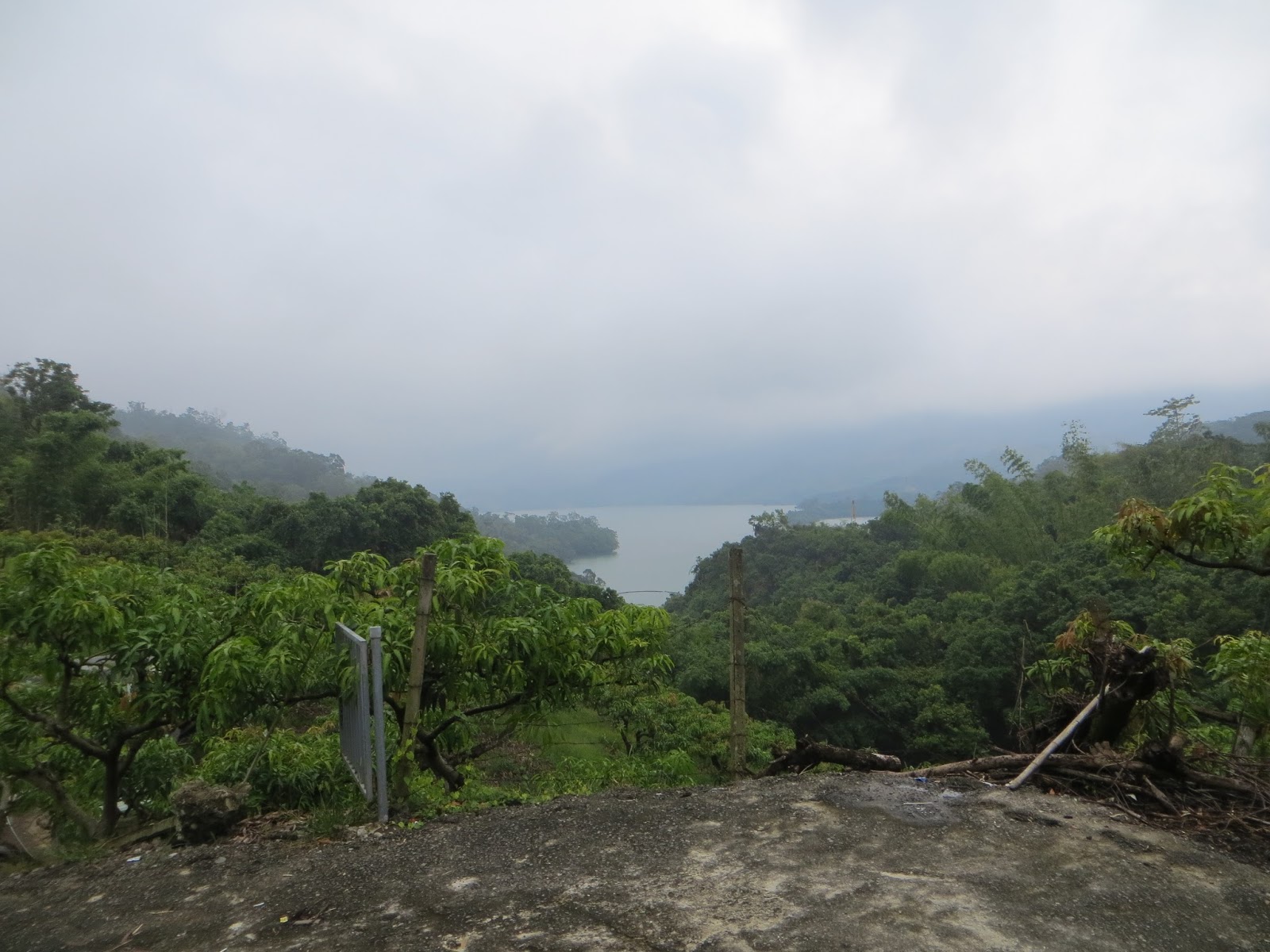
This was the Nanhua reservoir

It was late in the afternoon by now, but all things considered, this was a killer ride

23mm tire, still dont feel good about it. It might pop at will

More pics of this Nanhua reservoir


Gaining some elevation towards this tunnel. According to my map, I was moving west.
Then there was another big downpour and I had to hide away my camera. During that downpour, I road the section where Hwy 20 and 3 run together, going north to Yujing township. Later I would stay on Hwy 3. 20 would lead to Tainan city, I was going north, away from Tainan in the direction of Chiayi.

That hwy 3 brought me to Nanxi

I was taking pictures here and somehow I got distracted and forgot my cell phone here. I only realized it almost two hours later. That night I did not know where exactly I had lost it, but I was sure that it would be gone, destroyed because of the rain. I felt so dumb!
Luckily afterwards someone picked up the phone and called one of my Fengyuan friends, A-Zhu. He happened to have a colleague working in Tainan, who went to pick up that phone for me and sent it via mail to Taichung. That was soooo kind. I will forever be grateful for that. I am still using this telephone today.

Hwy 3, somewhere around 4pm.

I had studied the map and I decided I would spend the night in Chiayi city. In order to get there, I need to pass two more hurdles: Route 174 and 165. I had exited the mountainous area so piece of cake, I thought...


This spot in Nanxi was a Hakka house family.

Heading for Liujia along Route 174. This section was 25km.

When I realized that this was a mountain path, I was surprised. I was ascending for quite some time. I thought this would be flat. I felt pressured because this would need more time and I would not make it to Chiayi before darkness. Also, this was a very deserted spot, what if I got another flat here? I would be seriously f*cked.

This view in the late afternoon was nice though...

This route was comprised of several climbs and descents. Looking back at the map now, I see it is indeed located in the hilly parts of Tainan county.

More havoc caused by the recent typhoon. You will always see that on mountain paths

Some sections looked bad. There were a few signs here leading to Jianshan, the pointy mountain. Obviously I had no time for that.

Slowly I made it outside of this 174, which kept me busy for more than an hour.


I made it to Liujia before darkness, at least I made it outside of the hills before nightfall. The last section was route 165 to Chiayi. This was a flat section. I had done part of it during my July ride around Taiwan. It was strange that destiny had brought me here once again.

Route 165 would lead me to Baihe, beautiful Baihe. During this last section I felt I was hungry.

It was only 13km to Chiayi city from here

The town located after Shuishang would be Chiayi

All of a sudden the skies grew very dark again and another heavy downpour landed. I hid it out under a bridge, where I first noticed that I had lost my phone. I checked my bag twice before I accepted the fact that I had lost it.

Preparing myself for a last heavy downpour of the day. It has been some crazy tour of the island with all of this rain.

Those skies looked nasty

When I arrived in Chiayi, it was already dark. On top of that, I was unable to find a place to stay the night. I went to the police station, where I was told that there is a traveler center, where I could spend the night for 600 NT. It was all very basic, but it could do.
I took a shower and went outside, where there was a night market. I had some fruits and meat as dinner. After two consecutive days of 711 food, I needed something else. I went to bed feeling bad about loosing my phone and about being unable to tell my friends I was alright. The next day I would go back to Taichung as soon as possible.
No comments:
Post a Comment