Garmin Activity: https://connect.garmin.com/modern/activity/677405878
190km, 7h12, elevation 739m
When I was at home for Christmas, I read a small book on how to enhance cycling trainings and one of the key elements was to alter training methods. Yesterday I did some serious climbing and therefore, today I did more a flat, long range ride. Riding through the plains of Formosa was my goal today. I selected Changhua and Yunlin for this ride. With my map in my backpack I headed out and I would decide where to ride out in the field.
The first section was the part I do so often, going from Shalu to Changhua via Hwy 1 and then taking 137 down to the South of Changhua. An easy way of gaining some mileage.

50km since I left Shalu, my first break at 137.

Good morning everybody!

I had never cycled Route 137 all the way to the end, so today that was my objective. The more south I went, the nicer and more beautiful the sceneries became. I slowly diverged away from the more crowded scenes and in change for that I got some beautiful relaxing views. From Changhua city, I passed through Yuanlin, Tianzhong and Ershui townships.

Cycling infrastructure in Changhua county

The tranquility of southern Changhua is actually quite nice, if you have the chance, go and check it out!


Then I made it to the end of 137. I checked my map for what to do next, but it was not really clear because a lot of roads converged into one point. I just followed my intuition and connected to Yunlin via the signs. Looking at the Garmin map, I took Route 150 West for a very short segment and then I went south via 141. This is where I crossed the Zhuoshui river, the natural boundary between Changhua and Yunlin county.

Then I saw a sign indicating "Gukeng". I learned from my friend Liao Shi-jie that there were some hills in Gukeng county. So that is where I headed.

Suddenly I landed back on Hwy 3. Following the map was all I needed to do. I traveled through the townships of Linnei and Douliu before making it to Gukeng. In Gukeng I saw this smaller road indicating Gukeng: 154yi. Better than Hwy 3 I thought so there I went.
Taking pictures at Gukeng township

Beautiful views of Yunlin. These are truly the Low Lands within Formosa.


Gukeng! This picture even made it as cover of the Specialized Fan group Taiwan.


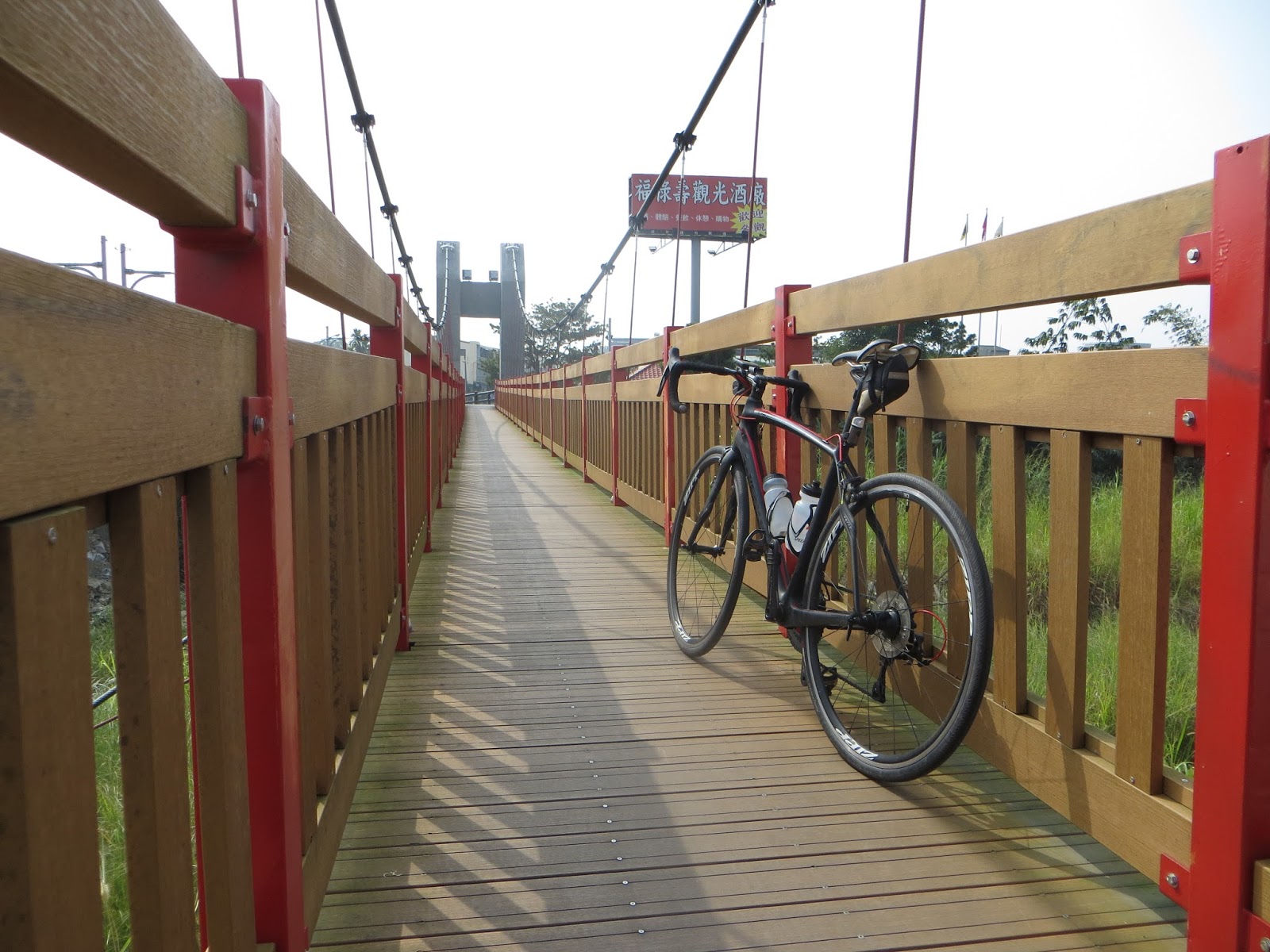
Yunlin's Fulüshou brewery

If only I had an MTB in Taiwan... or a Diverge... Not going inside like this!

Gukeng in Yunlin. I did not find the hills Liao Shi-jie was talking about, but I did enjoy the views. Then I connected to Route 156yi, going back north to Dounan. I could go back to Taichung this way, which would make it a nice plains ride.

Cycling infrastructure in Yunlin. Indeed, Yunlin can be a nice cyclist area for relaxing rides.


A heart shaped statue. Love is in the air?


From here I started following the streets signs. I saw the names of Xiluo and Lunbei indicated, which would automatically lead me more north.

En route, very few traffic and some tiny villages. This ride was incredibly relaxing

Eventually I made it to Xiluo, a place that bears special memories to me.

The stunning sight of all these fields full of flowers and crops.

A giant temple in the middle of nowhere

In Xiluo I tried to find that Specialized shop, but I failed in my attempt. I had lunch near to red bridge.

A miniature version of the Xiluo bridge.

Mini bridge close up

And then the real thing! The Xiluo bridge, four km of red paint

Back over the Zhuoshui river, into Changhua county. In Changhua I used my map to link a few routes together that would lead me back to Taichung. I first took 145 back to Changhua's Pitou and Xihu township. Then I connected to Hwy 19 which went north as well. I had a tough head wind so the return was tiring. When I saw route 135 to Lugang, I thought this would be a nice new alternative back to Taichung, a route I had never cycled before. In the Lugang city center, I stopped at the old temple again.

The last section of the day was Route 134 back to Shengang, followed by coastal Hwy 17. Now this is where I really felt the wind blowing strongly. I faced quite an ordeal at the Zhongzhang bridge. It was the toughest section of the day. Then there were two more links through Longjing and Wuqi and I was back in Shalu. Sand was all over my face, a proof of how the wind had been intense. But a nice ride for sure!
No comments:
Post a Comment