Garmin Activity: https://connect.garmin.com/modern/activity/804856799
162km, 6h21, 1463hm
I headed out rather late on this Monday. Too late for a big 250km ride, but I could still do some nice exploring. I had gone to Guguan almost a dozen times but never had I taken the time to check out what was situated next to Highway 8. So after my breakfast, I headed out, doing the usual ride from Shalu to Fengyuan and then to Dongshi.

This picture is taken at a bicycle path between Fengyuan and Dongshi

At the 7.5km mark of that road and 12 is Dongshi city center


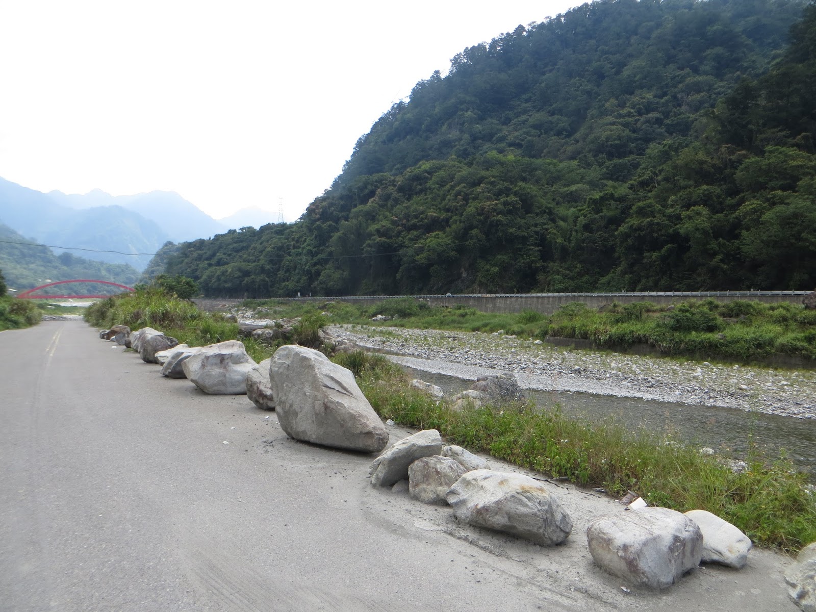
From Dongshi city center I connected to Highway 8. This is the river bed that lies underneath Dongshi bridge.

Xinshe is located on the other side of this river bed


I have seen before that this gravel road next to Hwy 8 goes parallel with it, but it is reserved for trucks. I would like to just cycle it once and see how it goes. But I should look for a day with few trucks and less traffic for it. Also, I should bring my other bike for it.

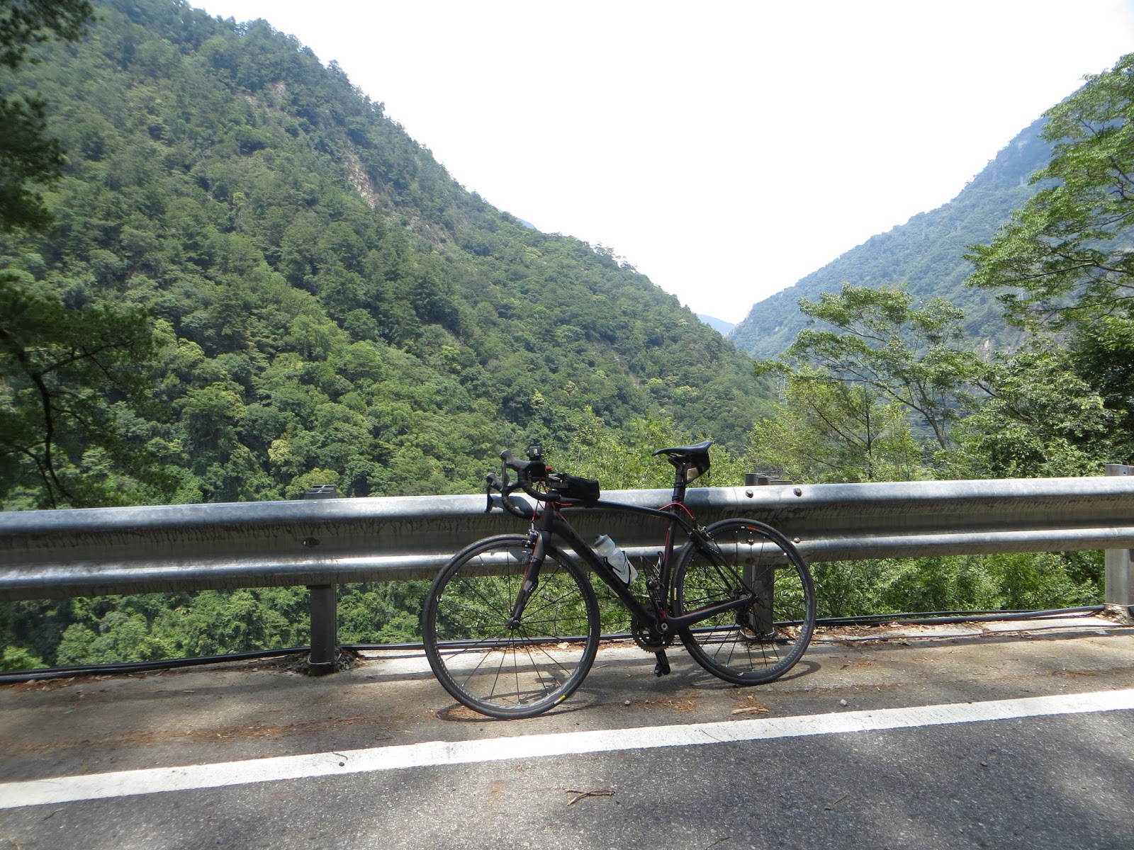
Just taking some pictures. After that I went straight for Guguan. Actually it was just 30km more on this Hwy 8, not too steep, not too difficult, a relaxing ride. Gotta be outside when the sun is bright, right?


Highway 8

Guguan tourist center


After making it to Guguan; there is a few more km of Hwy 8 you can do, until you reach a check point. After the disastrous 1999, this Hwy 8 was destroyed in two locations, one right here in Guguan, the other one more East in Deji. Only local residents and people with a special permit can pass, therefore I could not.


Welcome to Checkpoint Guguan. The guard dit not let me in, but he was kind enough to have my picture.


Nothing left to do but go back to Taichung from here

But I will check out some little roads and paths


A tribal village, let's go inside

This village is called Shiwen Tribe, but I noticed there was a new sign calling them Haliluo tribe.

I've seen similar views in other areas of central Taiwan


At this point, I checked out what laid behind this red bridge

The characters in Chinese say: Songhe bridge, this village is called Songhe tribe


Interesting detail: there were people working on this bridge who warned me not to touch it, as they were doing a point job. Good thing they warned me, I was gonna take a picture with that background and my bike.


Dajia river, going from the Taiwan straight all the way to Wushe (Wanda reservoir)


Svastika

Standing on the other side of Hwy 8

There was a small street with shops in this Songhe tribes. I stopped at a shop and started talking to the shop owner. She told me the story of this village, telling me that there was a disaster in 2003. Heavy rainfall caused flooding of the river, which posed a threat the houses in this street. The house right across the shop (see picture below) collapsed because of it and it was not the only one. The government gave those people money to live elsewhere but she told me she lost some neighbors and good contacts because of it. Her house was also flooded. The first story of her building was filled with rocks, but she chose to keep living there and now she lives on the second and third floor of her house. Touching stories that point out that Mother Nature can be very strong over here.


The result of the grief-stricken 2003 disaster

Makes you think about the grandeur of mother nature

Terrible!


These views are eye-caressing


The tribes, very different from living in the big city


Chinese characters for: Songhe buluo, Songhe tribe. When I went back to Fengyuan and told my buddies about my adventures here, another guy who happened to be there told me he worked in the Songhe police station for almost twenty years. He was happy that I took the effort of checking this out.

Life in a tribe, without smartphones and battery packs

I never planned this trip, it just happened, but it just adds to the beauty of it

Cute little roads

The next red bridge: Lileng bridge, of the Lileng tribe

Lileng tribe, another village along Hwy 8. I was really baffled by the great number of roads and villages that lay hidden here. A lot of people visit Guguan, but almost nobody knows about these places.


There is a lot to be explored here, too much for me on this afternoon. I have to come back for this...

True Jesus Church, a reminder of my ancestor's time in Formosa

Looks just like the churches in the Low Lands

Dongguan Road, section one, number 15-2, Heping area, Taichung City, Republic of China, Taiwan. That sounds like a complete postal address


Thank you for providing me with cycle-tastic memores, Lileng tribe!


A giant temple along Hwy 8


A suspension bridge at the 24km mark of Hwy 8, first time I took the time to come here


On the other side of the suspension bridge, Sanmin Lane. Adorable isn't it?

That water looks really clean and pure


I did not have the time for it today, but I am bound to come back for this trail one day. It leads to Baimaoshan, roughly 20km farther to the West.

That would be straight ahead, but due to a lack of time, I was crossing the bridge again and pursuing my conquest of Hwy 8.

This bridge that is

More to be explored along this magical central cross island highway.
After this picture I went straight back to my friends in Fengyuan, who I would meet for tea time. Another lovely ride, even though I did not perform any shocking numbers, it was a nice tourist day outside.
No comments:
Post a Comment