
I woke up early today as I did not want to miss the beautiful break of dawn right in between Formosan fauna and flora. Today's destination was Kending 垦丁, or at least someone around it. It is funny how not a single cycling guide mentions the road to Eluanbi, the southernmost point of the island. Instead the traditional itinerary is to make you take the big intersection at Daren 達仁 and send you via the cross-road to the Western coast. Again, this did not rime with my philosophy of circumnavigating the island. It was my mission to go as far as I possibly could, making the big turn over Kending, accepting only the boundaries of Mother Nature. Another interesting fact about today's trip is that is was a combination of several roads and intersections, rather than following just one road. Up 'till now, all my trips had been along Route 2 or Route 9 that just went on and on. Today would be diferent, with more map-looking and keeping my eyes on the signs that indicated changes in the road. In that sense, today would be the first real "adventure", as I would be seeking my way through Kending.
I woke up, took my stuff (except my power bank, which I conveniently forgot at the hotel, good move Bartman!!!) and headed outside. The hotel was in a very desolate area and it took me several kilometers before I arrived at the main road, leading me even further on Taiwan's wonderful east coast. The main road was in the area of Taimali 太麻里. As I did not have the chance to refill my tire pressure yesterday, I was looking for a bike shop or a 7-11 with a pump, but I did not find one. Instead of stopping every 10 minutes, I just decided to roll with it and see what happens. After all, I did bring my flat-tire-emergency kit just in case.
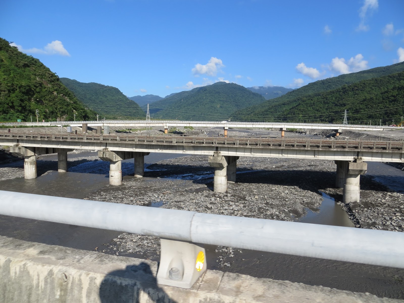
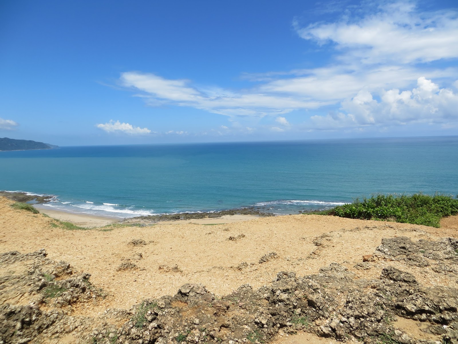
I got another beautiful morning with the sunrise in the background and some more views of the Pacific. After three days of seeing nothing but that, it still intrigues me how just off the coast there is perpetual mass of vast blue ocean. But for today I knew that this sight would change during my trip. I began my day with more of Route 9, that just did not seem to stop. The first village I passed was, Jinlun 金崙, one of the many places with hot springs. Next to the Ocean and mountain range views, another repeating view were the road works. I had the impression a lot of work was being done these days around the Island. It might have had something to do with the tyfoons. I stopped a few times along this road for some photographs. After all, the view was just stunning! At a certain point I saw a sign that indicated that Dawu 大武 was only 11km away. The sign already indicated Pingdongm a big city right next to Kaohsiung. All of this meant that I was decending fast on the map!
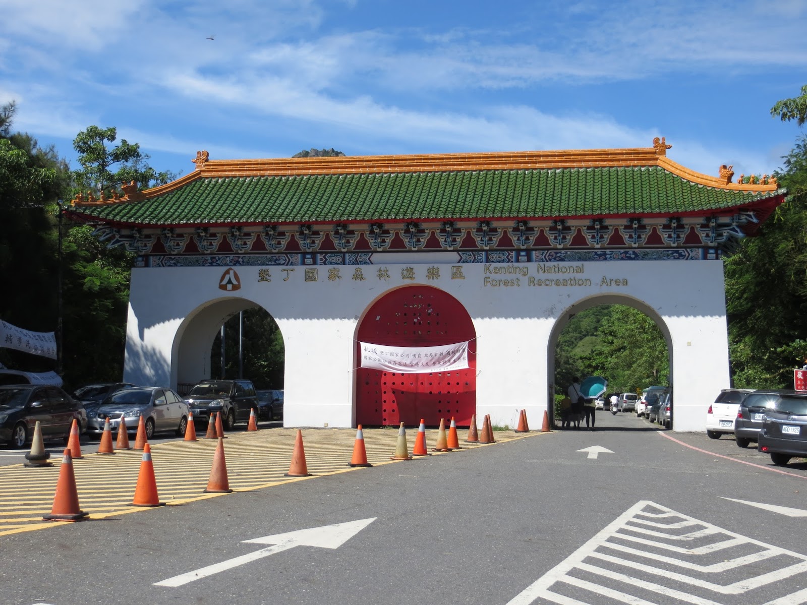
But the geographic pattern was not a descent unfortunately. After Dawu the road changed into an ascent that went on for a good 15 - 20 km. The road had several curves and some of them were really steep. Next to this road I saw several aboriginal villages. I did not enter them but I did take a picture of there nice "town gates". I find it really interesting to see this aboriginal cultures in real life. They are just so different from the Han population. Along the road I saw a few western girls who walked up instead of cycling up. If they were cycling I would have joined them, but I had to make it to Kending, so I could not waste time by just walking. The ascent on Route 9 kept on going until mile stone 455. This is were my jounrey altered it's course and I finally left Route 9. I had to take a left and take Taixian 199. This was a very small road with a lot of turns and ascents. I had a constant speed of around 37 km/h. One of the things I really liked were the mirrors in every turn. It enabled me to see if there was incoming traffic and thanks to that I could take the turns sharper and with higher speed. After having climbed for 20km with my heavy backpack in the hot weather, this ascent was like a blessing.
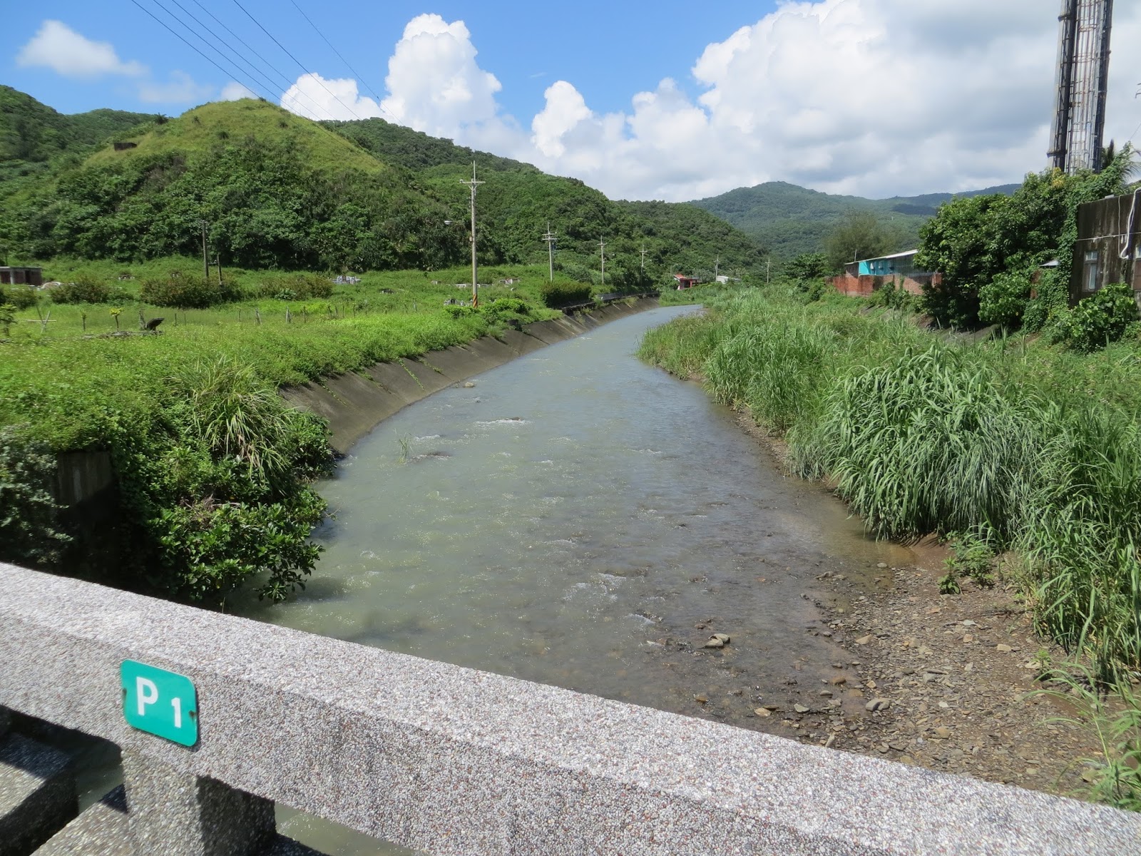
This road was very desolate with nothing to indicate a sign of life. I saw just trees and the moist soil . Probably some of the water uphill was flowing downwards after the taifoon. After a few km I did see an aboriginal village called Dong Yuancun 東源村. In English that would one: village near the eastern source. And I think that was exactly my current location within Ilha Formosa. Actually I really like the style of the signs and gates of these villages. It has something unique and worth stopping for and taking a picture. It really touched me how quiet these places are. There were not even scooters or blue trucks or other signs of life. Just one foreign cyclist and the Woods. After about 9 km, I had to make a change and head for Taixian 199甲, in the direction of Xuhai 旭海. On my way there I passed a village called Mudan 牡丹. For those who have studied the history of Taiwan, Mudan will ring a bell. It is the place where a vessel of Japanese colonists was slaughtered by aboriginal inhabitants during the early 17th century. In exchange, the Japanese massacred all living souls in the village and burned their houses down. Maybe that was the reason I wasn't seeing signs of life. Although that was over 400 years ago, I was still cautious when I trespessed these soils. From Mudan the road became Route 26 and it went on to Checheng 車城 and Xuhai. This is where the beach really got near. I could actually just walk to the water.
The sights and sceneries were beautiful but the road was in a terrible shape for a road bike. The asphalt had cracks in it everywhere and I felt like cycling though a small Italian village. Considering the fact I had not had the chance to fill up my tire pressure, I was really worried about getting a flat tie. So I was very cautious and tried not to get into trouble. I cycled past a military camp and I could see the soldiers doing a practise drill. I also saw a group of travelers enjoying their quads in the lonely streets. The road changed again, to Taixian 200 and I followed that to Manzhou 滿洲. It was possible to take a shortcut to Hengchun in only 33km, but again, that would be cheating, so instead I went down to Manzhou. Along the road I saw more aboriginal villages and Buddhist temples. And then all of the sudden, something happened that terrified me: in a ascent, I saw a big monkey standing in the middle of the road and it was staring at me. I got of my bike immediately and I prepared myself to turn around immediately and race downhill. I know that monkey's can be aggressive and that they might even bite off your arm. I feel no shame in admitting that I was really scared and afraid of what might happen. I even freezed out of fear. Luckily, the beast did not find me appealing and after eye-balling me for half a minute, it dissappeared in the forests. I waited for a few minutes before I continued my route. Maybe you have to see if to believe it, but that was really terrifying!
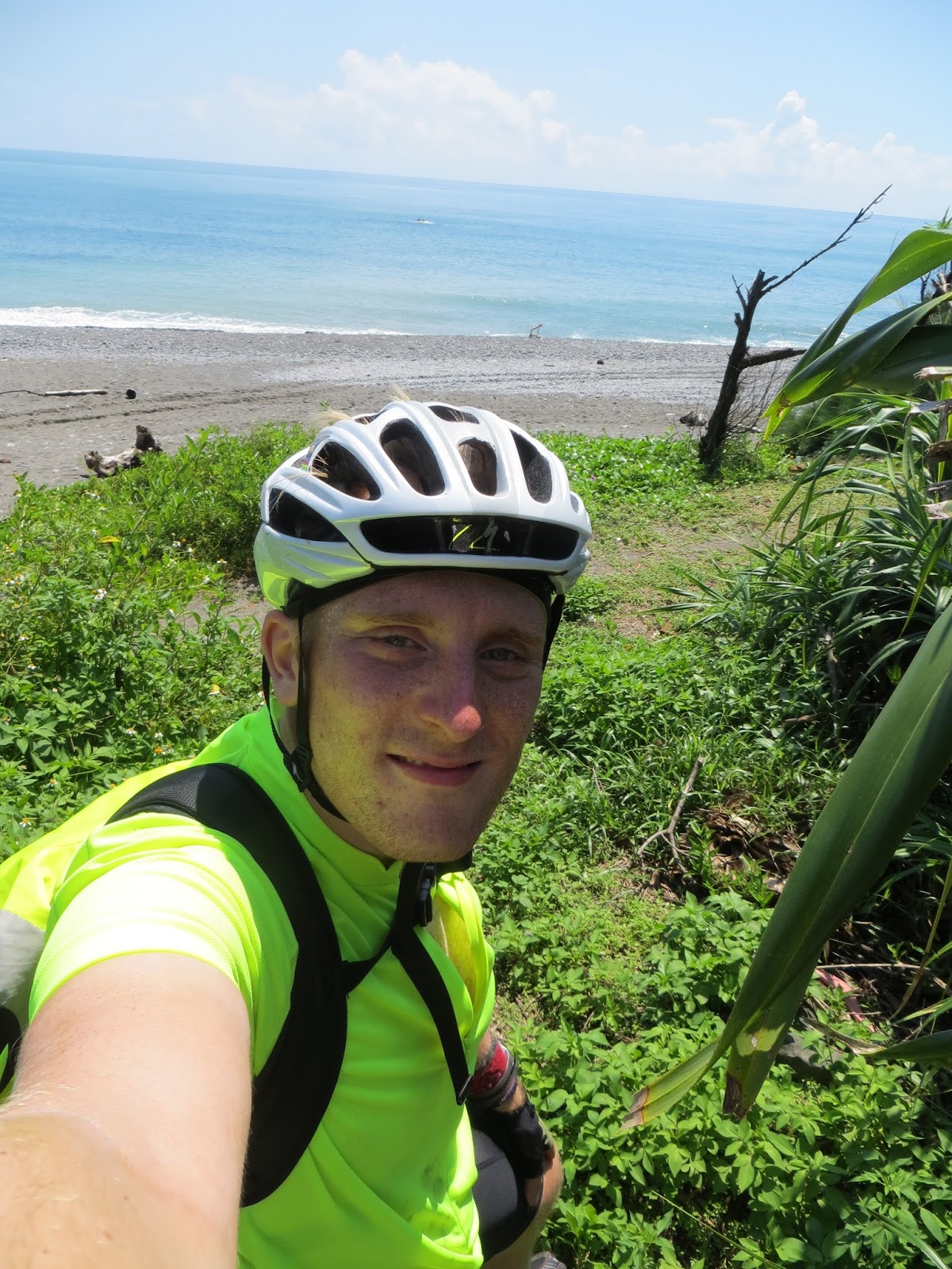
After doing a last 7-11 pit stop in Manzhou, I went straight for Eluanbi 鵝鑾鼻. It was coming closer and closer now, within less than 10km. I loved the idea of having cycled all the way from Tamsui to Eluanbi. It made me feel bad ass! One of the last villages I passed through before arriving on Taiwan's southernmost point was Xinzhuang 新裝 (just like the district in Taipei). And then, there it was, the sign announcing "Eluanbi Scenic Area". I could believe it, I had already finished half of the Island in just three and a half days. It was only 12 o' clock! so I could do a lot more haha.
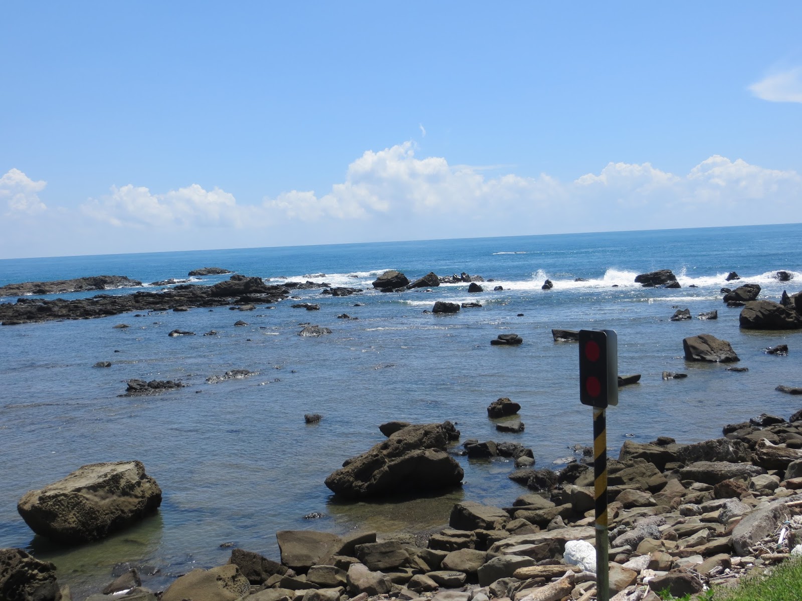
I remembered the Eluanbi Scenic Area from two years ago, when I went there by bus and train. At that time I did not notice it was so steep and full of ascents and descents. I left a lot of sweat on those climbs. The views here are just amazing so I took a bunch of pictures. After that I finally made it to the spot I absolutely had to hit: the Eluanbi light tower. Just like Cape Hoek only three days earlier, this was Taiwan's other extreme point, in the south. Too bad the tower actually was inside of a park that I could not enter with my bike, but I did take a picture of it within 100meters. Considering the distance I have travelled for this, I think that counts! :-) At that moment I called Kamuy Tan, a Peruvian friend of mine who happened to be in Kending. She actually lives in Taichung but she was around, so I decided to visit her. She was at Baishawan 白沙彎 with some friends and asked me if I could meet them there. I had to ask for directions, but that wasn't an issue. It was in the direction I had to go anyway. I cycled through Kending and I saw several things I had seen some 700 days earlier: the busy Streets of Kending, the beaches, and even the Catholic Hostel in which I spent two nights on June 2011. It was really striking to be back at this spot. It felt like yesterday! I did not think Baishawan would be another 20km and that there would be more ascents. I started to feel a little weary, but it might have been because of the temperature. Just before arriving at Baishawan, there was a very steep ascent and before I even checked my speed, I was already flying at 55 an hour. I decided to tap that pedal and see where I could go, but when I started approaching 75 km an hour and I saw a turn a few hundred meters in front of me, I chickened out and hit the brakes. This would have been my absolute top speed during my spin around the Island. Children, please do NOT do this at home!
I arrived at the Baishawan beach and I met Kamuy and her friends. There were a few Dutch guys and guys from Nicaragua. We had some nice chats. I decided to call it a day and just chill with them. We had a few drinks and just enjoyed the summer sun on the beach, together with other tourists. When it started getting dark, I headed back because I still needed to find a place to crash. At this point I was officially on the West Coast and my place for the night would be in the town of Hengchun 恒春. Hengchun is Chinese for "Eternal Spring" and that is a name it did not steal. The sunset was beautiful and I felt really far from home. I had a Vietnamese soup in the restaurant next to my hotel and I went to bed early. It was a very nice day! Tomorrow is a very big day: I will visit Kaohsiung, Phoebe's home town :-) Can't wait!


No comments:
Post a Comment