
Day 1 - August 22; There will be sunshine after the rain – the Journey finally begins
After a full week of setbacks such as failing air companies and impossible weather, I woke up in a dazzling sunny Tamsui 淡水. It was already nine am and I had not dreamt of seeing this weather today. When I opened my eyes, the first thing that crossed my mind was: hit the road boy! You have lost enough time already. I quickly did my morning routine, prepared my GPS and other equipment and revised the content of my backpack. Together with me, the following items were also traveling around the island with me: one set of extra clothes, my laptop, my traveling guide, my GPS, my wallet, my cell phone, my power bank, my Go Pro Action Camera, my bike and tire repair gear and – last but not least – my adventurous mindset and my fierce desire to unravel the hidden mysteries of this fascinating Pacific Oasis called Ilha Formosa.
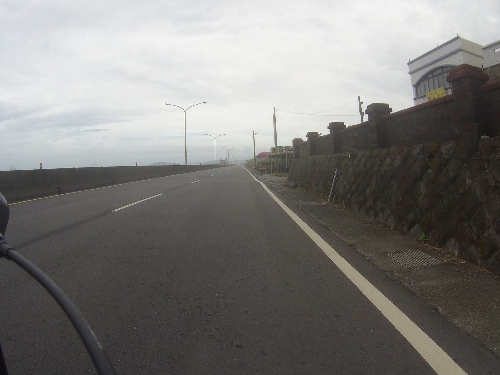
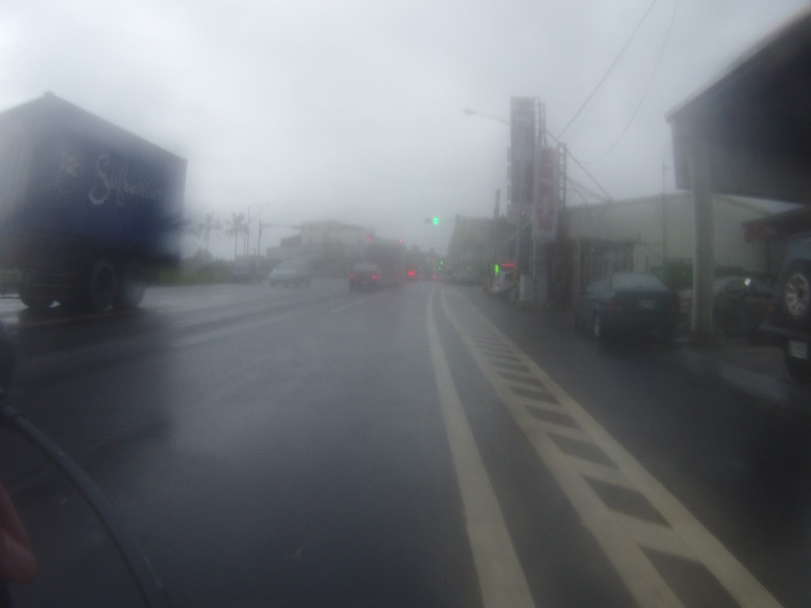
The starting point of my trip was Tamsui. Tamsui is a small fishing town 30km up north of Taipei and the reason this place is my starting point is pretty much sentimental. It is the place where I lived last year and I treasure a lot of good memories to it. Cycling through the tiny streets fills me with nostalgia. Tamsui is also the place where the Dutch East India Company resided during their 17th-century rule of Taiwan. I don’t think there is any place in Taiwan that is more suitable for departure than Tamsui. I started cycling with my heavy backpack around 10.15 am. After plowing my way to through the Tamsui city center, I went up north following Taiwan’s national route 2. Just like in the United States, the Taiwanese road infrastructure consists out of express ways, national routes (台縣taixian) and secondary roads (縣道xiandao). As my goal is to circumnavigate the island, I will be seeing more taixian than xiandao.
 The first meters of my trip around the Island in Tamsui
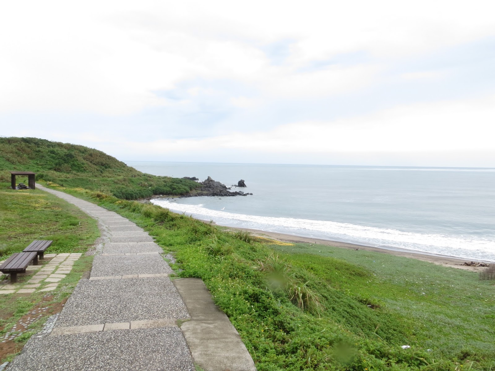
Starting from Tamsui I went up north and I cycled through a great number of small townships and villages. For those who know a little about Taiwan’s geography, I passed Sanzhi 三芝, Shimen 石門, Jinshan 金山, Wanli 萬里, Keelung 基隆, Ruifang 瑞芳, Fulong 福隆, Toucheng 頭城, Yilan 宜蘭 and Su’ao 蘇澳. It is basically cycling the Route 2 from mile stone 0 to 170. After reaching Shimen, I reached the northernmost tip of the Island: 富貴角 (Fugui’s corner). The light tower on the hill is used to guide the ships to a better and more safe haven at night. I took the time to actually climb up the hill and check the Pacific Ocean from the highest point. There I learned that this point is actually named after a compatriot of mine. Maybe I should even say ancestor. Hoek was a Dutch sailor who set foot on this very spot somewhere in the early eighteenth century. The Chinese transliteration of Hoek became Fugui, which does sound a little like it. This knowledge already deprives me from the impression that I might have been the first Dutchman to touch these soils. But on the other hand, it does not spoil the magnificent view. It is around 22 degrees and there is a gentle breeze. A sight to remember forever!
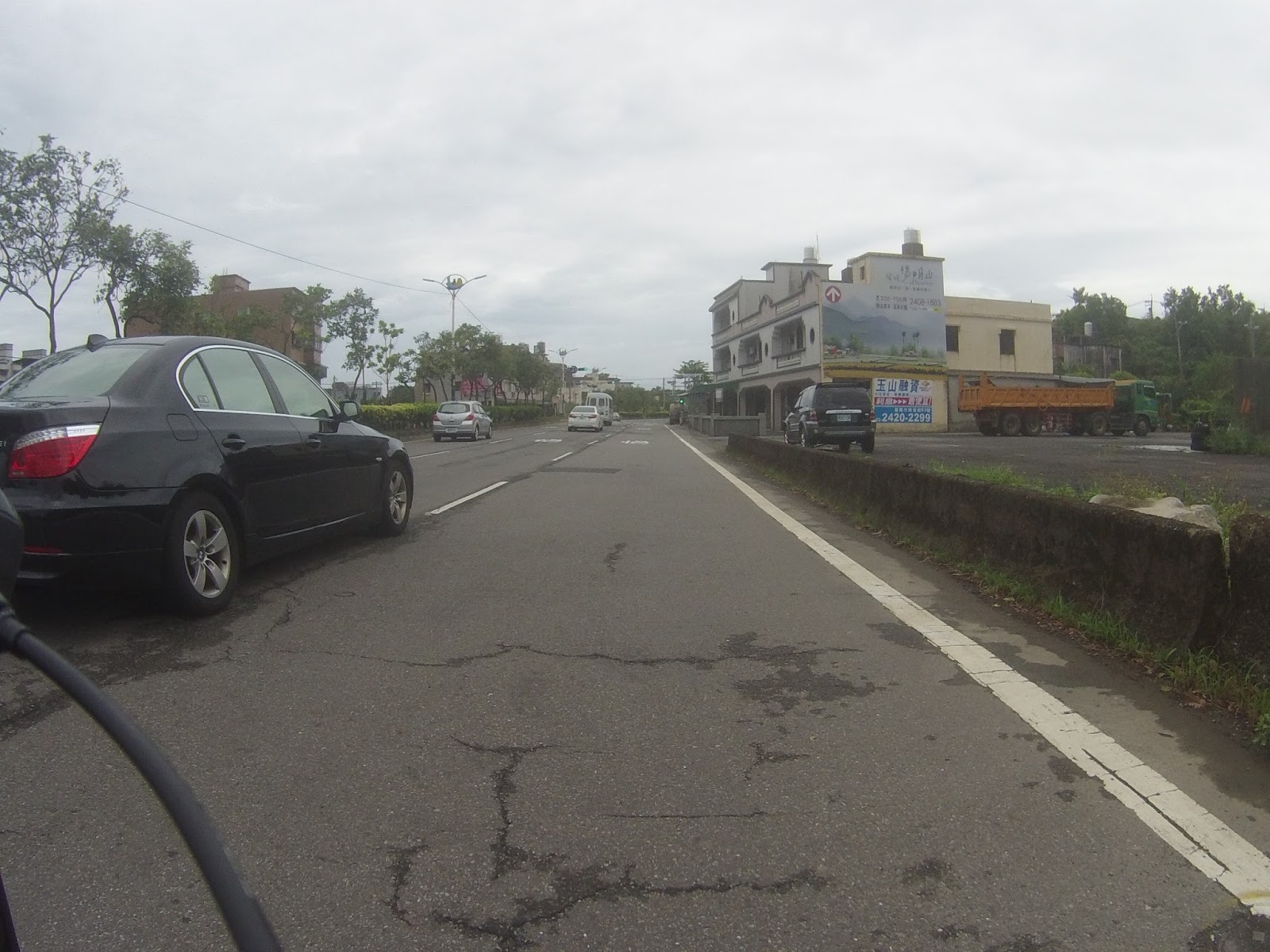
 Racing at high speed for Keelung city
The starting point of my trip was Tamsui. Tamsui is a small fishing town 30km up north of Taipei and the reason this place is my starting point is pretty much sentimental. It is the place where I lived last year and I treasure a lot of good memories to it. Cycling through the tiny streets fills me with nostalgia. Tamsui is also the place where the Dutch East India Company resided during their 17th-century rule of Taiwan. I don’t think there is any place in Taiwan that is more suitable for departure than Tamsui. I started cycling with my heavy backpack around 10.15 am. After plowing my way to through the Tamsui city center, I went up north following Taiwan’s national route 2. Just like in the United States, the Taiwanese road infrastructure consists out of express ways, national routes (台縣taixian) and secondary roads (縣道xiandao). As my goal is to circumnavigate the island, I will be seeing more taixian than xiandao.
Starting from Tamsui I went up north and I cycled through a great number of small townships and villages. For those who know a little about Taiwan’s geography, I passed Sanzhi 三芝, Shimen 石門, Jinshan 金山, Wanli 萬里, Keelung 基隆, Ruifang 瑞芳, Fulong 福隆, Toucheng 頭城, Yilan 宜蘭 and Su’ao 蘇澳. It is basically cycling the Route 2 from mile stone 0 to 170. After reaching Shimen, I reached the northernmost tip of the Island: 富貴角 (Fugui’s corner). The light tower on the hill is used to guide the ships to a better and more safe haven at night. I took the time to actually climb up the hill and check the Pacific Ocean from the highest point. There I learned that this point is actually named after a compatriot of mine. Maybe I should even say ancestor. Hoek was a Dutch sailor who set foot on this very spot somewhere in the early eighteenth century. The Chinese transliteration of Hoek became Fugui, which does sound a little like it. This knowledge already deprives me from the impression that I might have been the first Dutchman to touch these soils. But on the other hand, it does not spoil the magnificent view. It is around 22 degrees and there is a gentle breeze. A sight to remember forever!
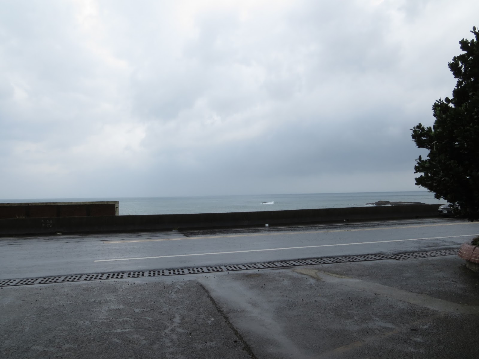
I headed back to route 2, leaving the northernmost point behind me. I was now officially on the Taiwanese east coast. I spent most of the time cycling through the villages with the Great Pacific at my left side and the Taiwanese mainland on my right side. After approximately two hours of cycling, I reached the city of Keelung. Keelung is a very big harbor city and it did not take long for me to see the containers and ships. Keelung also used to be a Spanish port in the early seventeenth century,, until the Spanish were oasted by the Dutch, who then took the sole command of the island and turned it into a key trading port between China, Japan, Korea, the Philipines and Indonesia. That is the reason why I am seeing a big port city right now. In contemporary Taiwan, Keelung is the number 2 port next to Kaohsiung. Cycling through the city makes me understand how big it actually is. It took me 45 minutes to cycle through it, still covering some 19km. In Keelung, I saw what damage a tyfoon can actually bring forth. I cycled past a scene were there had been a mudslide and a lot of giant rocks got on the road and even smashed one vehicule completely. I pray to God for the driver’s fate!
The various ascents and descents of the Keelung area were a good preparation for what I was about to experience on my second day of the trip. After passing through Keelung the horizon displayed another beautiful collocation of the Great Pacific and the long unending road on Taiwan’s east coast. When I cycled through the small town of Rueifang 瑞芳 I even passed the spot where Bruce Guo, Lin Qizhan and me took the beautiful sunset photos on that 2011 summer day. It is hard to believe that two years have already passed since. But the feeling of passing through this spot on my bicycle filled me with great joy. Only 15 km after Ruifang I passed another place full of memories: Fulong 福隆. Fulong is known for its legendary beach, that seems to attract the most beautiful women aged between 18 and 35. I remember that on the same day in 2011, we were playing beach volleyball with three very gorgeous women. The next place on the map was Gongliao. At this point the first 100km of the journey had already been completed. All of the sudden I realized something: there is another place I visited two years ago, on the very same day! Taiwan’s most eastern point: Sandiaojiao Tower 三貂家燈塔. It is funny to imagine that I visited the northern and the eastern point of Taiwan on the very same day! In order to get to that Tower, I had to take a right turn on route 2 and head up to the tower. This climb may have been one of the most steep ascents I would experience during my trip around the island. Even with my lowest gear, I was still standing on my bike and giving it all I got to manage! But I did manage and the feeling was wonderful. Way up there I could feel the wind blowing heavily. Even almost blowing me off my bike. After a few pictures, I headed back to route 2. I wanted to continue to Su’ao, which was another 75km so I had to keep going. Plus it was already getting dark.
From that point I made one last stop before I arrived at my final destination of that day. In Wai-ao 外澳, a small place near Toucheng, I stopped at the Rising Sun Surfer’s hostel to visit Candy and Gerrit. Last years a close friend of mine was working there and I often cycled over there from Tamsui and spent the night with them. But I did cycle a different road when I did so. I knocked on the door, dying to shout: “Remember Me!?”but they were not there. I asked the neighbours to tell them I had passed by and that I would pass by again. By now, it had gotten completely dark and I still had 40km to go. I really wanted to get to Su-ao 蘇澳today. The last part of today’s trip was hard: it was dark, I started getting head wind and it even started raining. On top of that, the road was in very bad condition and I was worried about getting a flat tire. To make that even worse, at some point I got chased by a wild dog! Luckily I have dogs at home and I yelled at it very aggressively and it backed off. This is one of the problem’s you will get in Taiwan: wild dogs! Sometimes they attack people, but mostly they don’t do anything. Still best to be cautious around these ill-fated creatures.
Finally, after 170km, more than 7 hours and probably a few thousand calories, I made it to Su-ao. In Su-ao I found a car wash hotel for 1000 NT a night. They had internet and free washing service so I rolled with that. I filled my evening with having a good meal, preparing my stuff for tomorrow and taking a hot tub. According to my cycling guide, I already finished two days haha! Tomorrow is a very important day!


Taiwan's northernmost tip: Cape Hoek (Fuguei Cape)


One of the many parking spots along the Northern coast. Lots of people take pictures here, including me!


No comments:
Post a Comment