Garmin Activity: https://connect.garmin.com/modern/activity/572385977
192km, 8h06, elevation 1686m
After several GPS guided trips, I felt the need to do some exploring by myself. I bought an 88 NT map at the 7-11 and studied the topography of central Taiwan. I decided I wanted to do a ride in Miaoli. Taking Hwy 1 north to Tongxiao was the first part of the trip.
A first picture in the early morning in Qingshui
In Tongxiao I connected to Route 128 going east. There was a small temple complex alongside the road.
A knight in shining armor early in the morning
Accompanied by a shining rider.
Then I continued my journey north; via Hwy 6 and 13. There was a cyclist lane along Hwy 6.
But a somewhat thicker tire would be better the cycling lane. I decided to stay on the road.
Nice though
On Hwy 13, I connected to Route 126, which leads to the Mingde Shuiku (Clear Virtue Reservoir). This was a nice spot
Then I continued my trip via Route 126. I saw some lovely sceneries and some indications of a Miaoli cycling route
Miaoli has a lot of these signs, really nice!
Mind that man working in the field
Riding S-Works will make this a very enjoyable trip.
When I made it back to Hwy 3, I continued north, to Sanwan. However, somewhere I got lost and did not know how to go back. There was another cyclist who I asked for directions. He told me how to go back to Hwy 3 and he joined me on that section.
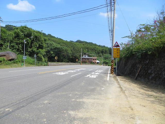
Highway 3 in Northern Miaoli, Sanwan area
From the first look, this is a graveyard
From Sanwan, I took Hwy 3 all the way back to Taichung. This section had lots of ascents and descents, which knocked me out during this ride. I didn't have the right physical condition for it yet.
A few pictures from the section where I got lost. The GPS map indicates that this was Miaoli-20 and Route 124.
A Church!
When I made it to Zhuolan I had to take a break. I was deadbeat. It was hot and I was tired, but the views of the reservoir were nice.
All things considered, this was a nice and unforgettable ride!


No comments:
Post a Comment